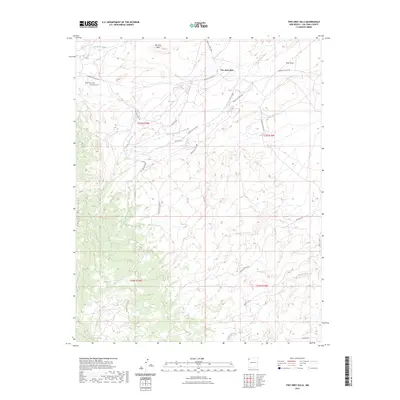
2023 Map of Two Grey Hills
USGS Topo · Published 2023About this map
Two Grey Hills and the eastern slopes of the Chuska Mountains define this high-desert landscape in San Juan County. The settlement at Two Grey Hills is a focal point for the surrounding region, known for its deep cultural history and the network of service roads that traverse the terrain, such as Indian Svc Rte 5001. The geography is etched by drainage systems including To-dil-hil Wash, Captain Tom Wash, and Tuntsa Wash, which reveal the seasonal movement of water across the mesa.
Find a feature on this map
24 named features on this map. Tap any name to fly to it.
Don’t see what you’re looking for? This feature index may not catch every label — zoom into the map to look around manually.
Map Details
Editions of this 2023 Two Grey Hills Map
This is the sole edition of this map. No revisions or reprints were ever made.
Other maps of this area

1889 · Chaco
USGS Topo · 1:250,000

1892 · Chaco
USGS Topo · 1:250,000

1927 · Sulphur Spring
USGS Topo · 1:96,000

1928 · Kirtland
USGS Topo · 1:125,000

1932 · Kirtland
USGS Topo · 1:125,000

1953 · Sanostee
USGS Topo · 1:62,500

1954 · Shiprock
USGS Topo · 1:250,000

1958 · Shiprock
USGS Topo · 1:250,000

1959 · Shiprock
USGS Topo · 1:250,000
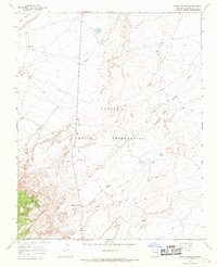
1966 · Sheep Springs
USGS Topo · 1:24,000
Featured Places
- Shiprock Agency
- Kin Łizhin, Shiprock Agency
- Two Grey Hills, Shiprock Agency
- San Juan County, NM
- United States