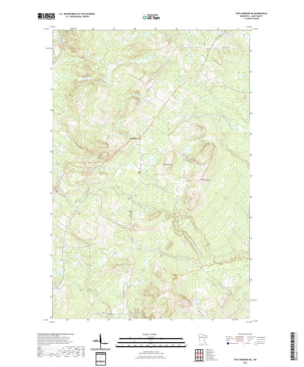
2022 Map of Two Harbors NE
USGS Topo · Published 2022About this map
The settlement of London serves as a central point in this Lake County interior, where the North Woods landscape is defined by its drainages and early transport routes. The upper reaches of the Gooseberry River and the Encampment River wind through the terrain, fed by numerous smaller waterways like Skunk Cr, Stony Cr, and Dago Cr. Historical logging and transit patterns are visible through the presence of old grades and rural thoroughfares, including the N Alger Grade, E Alger Grade, and London Crossing Rd. High ground at Gustafson Hill and the Nester Bluffs provides relief against the lower-lying Murphy Swamp. This area represents the transitional upland geography above the Lake Superior shoreline, focused on the forest and river systems that supported early regional industry.
Find a feature on this map
26 named features on this map. Tap any name to fly to it.
Don’t see what you’re looking for? This feature index may not catch every label — zoom into the map to look around manually.
Map Details
Editions of this 2022 Two Harbors NE Map
This is the sole edition of this map. No revisions or reprints were ever made.
Other maps of this area

1953 · Whyte
USGS Topo · 1:62,500

1954 · Silver Bay
USGS Topo · 1:62,500

1954 · Two Harbors
USGS Topo · 1:250,000

1956 · Split Rock Point
USGS Topo · 1:24,000

1956 · Split Rock Point
USGS Topo · 1:62,500

1957 · Two Harbors
USGS Topo · 1:250,000

1957 · Two Harbors
USGS Topo · 1:62,500

1957 · Two Harbors
USGS Topo · 1:24,000

1957 · Two Harbors NE
USGS Topo · 1:24,000

1957 · Castle Danger
USGS Topo · 1:24,000