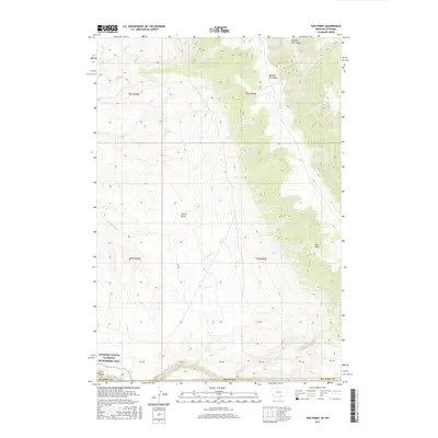
2017 Map of Two Point
USGS Topo · Published 2017About this map
Bighorn Canyon National Recreation Area defines the southwestern corner of this landscape in Big Horn County, where the topography transitions into the dramatic descent of Devil Canyon. This 2017 survey illustrates a high-desert environment shaped by a complex network of drainage basins, most notably Garvin Basin, and the prominent rise of Big Bull Elk Ridge. The map is characterized by its numerous seasonal and perennial watercourses, including Twentymile Cr and Big Bull Elk Cr, which carve deep canyons through the limestone and shale layers.
Find a feature on this map
18 named features on this map. Tap any name to fly to it.
Don’t see what you’re looking for? This feature index may not catch every label — zoom into the map to look around manually.
Map Details
Editions of this 2017 Two Point Map
This is the sole edition of this map. No revisions or reprints were ever made.
Other maps of this area

1894 · St. Xavier
USGS Topo · 1:125,000

1898 · Bald Mountain
USGS Topo · 1:125,000

1901 · St. Xavier
USGS Topo · 1:125,000

1901 · Bald Mountain
USGS Topo · 1:125,000

1954 · Billings
USGS Topo · 1:250,000

1954 · Hardin
USGS Topo · 1:250,000

1955 · Cody
USGS Topo · 1:250,000

1955 · Sheridan
USGS Topo · 1:250,000

1957 · Hardin
USGS Topo · 1:250,000

1957 · Billings
USGS Topo · 1:250,000