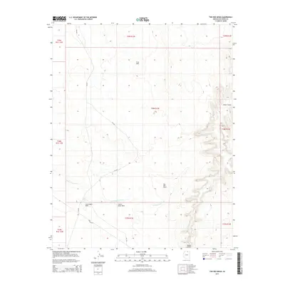
2014 Map of Two Red Mesas
USGS Topo · Published 2014About this map
Two Red Mesas and Potato Canyon anchor this arid landscape within Coconino County, where the topography is defined by intricate drainage systems and high plateaus. The map traces the course of Starting Water Wash as it moves across the southern sections, joined by Long Canyon Wash and Square Butte Wash. These watercourses reveal the natural conduits of the high desert, leading toward essential water sources like Bennett Spring. Significant elevation features such as Gray Mesa dominate the northern terrain, providing clear insight into the geological strata of the region. Transportation in this area is limited to a handful of routes, notably Bia-6330 and Powerline Rd, which reflect the remote character of the land and its reliance on Bureau of Indian Affairs infrastructure for regional connectivity.
Find a feature on this map
18 named features on this map. Tap any name to fly to it.
Don’t see what you’re looking for? This feature index may not catch every label — zoom into the map to look around manually.
Map Details
Editions of this 2014 Two Red Mesas Map
This is the sole edition of this map. No revisions or reprints were ever made.
Other maps of this area

1883 · Marsh Pass
USGS Topo · 1:250,000

1886 · Echo Cliffs
USGS Topo · 1:250,000

1891 · Echo Cliffs
USGS Topo · 1:250,000

1892 · Marsh Pass
USGS Topo · 1:250,000

1954 · Navajo Creek
USGS Topo · 1:62,500

1956 · Marble Canyon
USGS Topo · 1:250,000

1959 · Marble Canyon
USGS Topo · 1:250,000

1961 · Marble Canyon
USGS Topo · 1:250,000

1970 · Square Butte
USGS Topo · 1:24,000

1970 · Whirlwind Rock
USGS Topo · 1:24,000