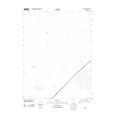
2011 Map of Two Tips
USGS Topo · Published 2011About this map
Fernley Sink dominates the southeastern corner of this arid landscape, providing a critical hydrological marker in the high desert. In the early 21st century, this area near Fernley shows a terrain defined by subtle but significant natural contours, including the elongated passage of The Narrows and the distinctive bend known as The Gooseneck. The map captures the intersection of desert topography and modern infrastructure, where Wildlife Rd cuts across the basin toward Fernley Reservoir Number Three. Named landmarks such as Two Tips and Sheepherders Canyon suggest a history of local land use and grazing, serving as primary navigational points in a region otherwise characterized by vast, open drainages.
Find a feature on this map
7 named features on this map. Tap any name to fly to it.
Don’t see what you’re looking for? This feature index may not catch every label — zoom into the map to look around manually.
Map Details
Editions of this 2011 Two Tips Map
This is the sole edition of this map. No revisions or reprints were ever made.
Other maps of this area

1890 · Wadsworth
USGS Topo · 1:125,000

1892 · Wadsworth
USGS Topo · 1:125,000

1894 · Wadsworth
USGS Topo · 1:125,000

1957 · Fireball Ridge
USGS Topo · 1:62,500

1957 · Two Tips
USGS Topo · 1:62,500

1957 · Wadsworth
USGS Topo · 1:62,500

1957 · Nixon
USGS Topo · 1:62,500

1957 · Reno
USGS Topo · 1:250,000

1959 · Reno
USGS Topo · 1:250,000

1960 · Reno
USGS Topo · 1:250,000