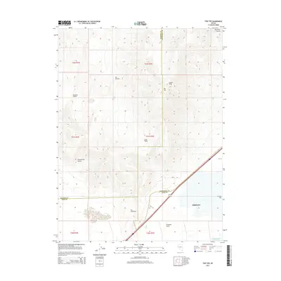
2014 Map of Two Tips
USGS Topo · Published 2014About this map
Fernley marks the southern reach of this Nevada landscape, where the arid expanse of the Fortymile Desert meets the rising terrain of the Truckee Range. The geography is defined by a complex network of canyons and valleys, including Windmill Canyon, Sheepherders Canyon, and the confined passage of The Narrows. At the higher elevations, the prominent peaks of Two Tips oversee Little Valley, while to the south, the terrain drops toward the hydrological terminus of the Fernley Sink and the managed waters of Fernley Reservoir Number Three. This 2014 survey documents the convergence of three counties—Washoe, Churchill, and Lyon—intersected by Alt 95 and the rural track of Duffy Rd. The map illustrates a high-desert environment shaped by both natural drainage patterns, like The Gooseneck, and the development of the irrigation and storage infrastructure essential to the region's ranching and municipal growth.
Find a feature on this map
23 named features on this map. Tap any name to fly to it.
Don’t see what you’re looking for? This feature index may not catch every label — zoom into the map to look around manually.
Map Details
Editions of this 2014 Two Tips Map
This is the sole edition of this map. No revisions or reprints were ever made.
Other maps of this area

1890 · Wadsworth
USGS Topo · 1:125,000

1892 · Wadsworth
USGS Topo · 1:125,000

1894 · Wadsworth
USGS Topo · 1:125,000

1957 · Fireball Ridge
USGS Topo · 1:62,500

1957 · Two Tips
USGS Topo · 1:62,500

1957 · Wadsworth
USGS Topo · 1:62,500

1957 · Nixon
USGS Topo · 1:62,500

1957 · Reno
USGS Topo · 1:250,000

1959 · Reno
USGS Topo · 1:250,000

1960 · Reno
USGS Topo · 1:250,000