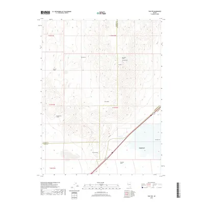
2018 Map of Two Tips
USGS Topo · Published 2018About this map
Truckee Range peaks and desert basins define this high-altitude corner of western Nevada. The landscape is dominated by complex topographical features like Two Tips and the drainage patterns of Windmill Canyon and Sheepherders Canyon. In the lower elevations, the transition from the Truckee Range to the valley floor reveals the Fernley Sink, a notable hydrological feature at the edge of the Fernley area.
Find a feature on this map
21 named features on this map. Tap any name to fly to it.
Don’t see what you’re looking for? This feature index may not catch every label — zoom into the map to look around manually.
Map Details
Editions of this 2018 Two Tips Map
This is the sole edition of this map. No revisions or reprints were ever made.
Other maps of this area

1890 · Wadsworth
USGS Topo · 1:125,000

1892 · Wadsworth
USGS Topo · 1:125,000

1894 · Wadsworth
USGS Topo · 1:125,000

1957 · Fireball Ridge
USGS Topo · 1:62,500

1957 · Two Tips
USGS Topo · 1:62,500

1957 · Wadsworth
USGS Topo · 1:62,500

1957 · Nixon
USGS Topo · 1:62,500

1957 · Reno
USGS Topo · 1:250,000

1959 · Reno
USGS Topo · 1:250,000

1960 · Reno
USGS Topo · 1:250,000