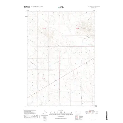
2017 Map of Two Top Butte West
USGS Topo · Published 2017About this map
Two Top Butte serves as the dominant landmark in this corner of Butte County, rising above a landscape defined by the drainage patterns of Horse Cr and Hilderbrand Cr. This 2017 survey reflects a largely open and agricultural character, organized by the township and range divisions of t12n r3e, t12n r4e, t11n r3e, and t11n r4e. The area is navigated primarily via local corridors like King Horn Rd, also labeled as Kinghorn Rd, which provides access through the sparsely populated terrain. This map is particularly useful for understanding the modern topographic layout of these Western South Dakota highlands, tracing the precise elevations and intermittent watercourses that have long shaped the ranching and land-use history of the region.
Find a feature on this map
9 named features on this map. Tap any name to fly to it.
Don’t see what you’re looking for? This feature index may not catch every label — zoom into the map to look around manually.
Map Details
Editions of this 2017 Two Top Butte West Map
This is the sole edition of this map. No revisions or reprints were ever made.
Other maps of this area

1905 · Indian
USGS Topo · 1:62,500

1906 · Two Top
USGS Topo · 1:62,500

1907 · Belle Fourche
USGS Topo · 1:125,000

1935 · Harding
USGS Topo · 1:125,000

1953 · Rapid City
USGS Topo · 1:250,000

1954 · Lemmon
USGS Topo · 1:250,000

1957 · Lemmon
USGS Topo · 1:250,000

1957 · Rapid City
USGS Topo · 1:250,000
1965 · Antelope Butte
USGS Topo · 1:24,000
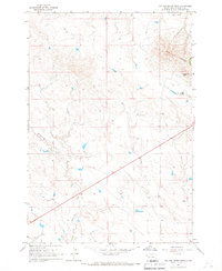
1965 · Two Top Butte West
USGS Topo · 1:24,000