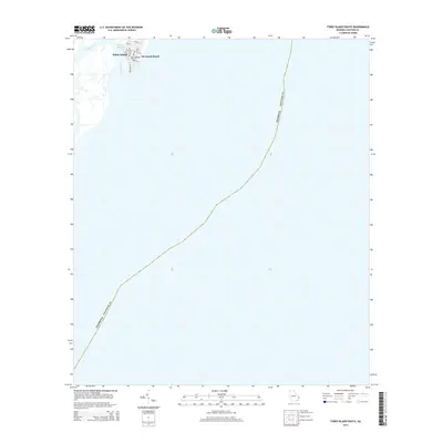
2014 Map of Tybee Island South
USGS Topo · Published 2014About this map
Tybee Island occupies the upper corner of this coastal survey, where the dense residential street grid of the southern island tip meets the Atlantic shoreline. Established roadways such as Chatham Ave, Miller Ave, and Tybrisa St define the local geography near the area identified as Savannah Beach. These streets lead toward the water's edge and the mouth of Tybee Creek, which separates the main island from the surrounding Sea Islands marshland.
Find a feature on this map
17 named features on this map. Tap any name to fly to it.
Don’t see what you’re looking for? This feature index may not catch every label — zoom into the map to look around manually.
Map Details
Editions of this 2014 Tybee Island South Map
This is the sole edition of this map. No revisions or reprints were ever made.
Other maps of this area

1920 · Wassaw Sound
USGS Topo · 1:62,500

1920 · Hilton Head
USGS Topo · 1:62,500

1920 · Bluffton
USGS Topo · 1:62,500

1945 · Bluffton
USGS Topo · 1:62,500

1945 · Hilton Head
USGS Topo · 1:62,500

1945 · Wassaw Sound
USGS Topo · 1:62,500

1946 · Brunswick
USGS Topo · 1:250,000

1947 · Savannah
USGS Topo · 1:250,000

1948 · Brunswick
USGS Topo · 1:250,000

1948 · Savannah
USGS Topo · 1:250,000