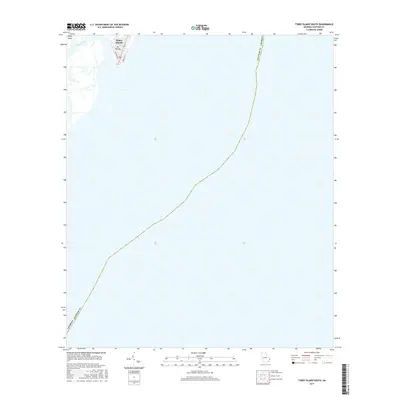
2017 Map of Tybee Island South
USGS Topo · Published 2017About this map
Tybee Island occupies the upper northwestern corner of this coastal survey, representing a small portion of the larger Sea Islands chain. This 2017 edition illustrates the shoreline at the mouth of Tybee Creek, where the local street grid including Chatham Ave and Strand Ave meets the Atlantic. The vast majority of the sheet is dedicated to the offshore waters of the Atlantic Ocean, tracing the maritime boundary of Chatham County, Georgia as it curves southward. This map provides a precise record of the contemporary shoreline and the coastal interface of Georgia’s easternmost point during the late 2010s.
Find a feature on this map
7 named features on this map. Tap any name to fly to it.
Don’t see what you’re looking for? This feature index may not catch every label — zoom into the map to look around manually.
Map Details
Editions of this 2017 Tybee Island South Map
This is the sole edition of this map. No revisions or reprints were ever made.
Other maps of this area

1920 · Wassaw Sound
USGS Topo · 1:62,500

1920 · Hilton Head
USGS Topo · 1:62,500

1920 · Bluffton
USGS Topo · 1:62,500

1945 · Bluffton
USGS Topo · 1:62,500

1945 · Hilton Head
USGS Topo · 1:62,500

1945 · Wassaw Sound
USGS Topo · 1:62,500

1946 · Brunswick
USGS Topo · 1:250,000

1947 · Savannah
USGS Topo · 1:250,000

1948 · Brunswick
USGS Topo · 1:250,000

1948 · Savannah
USGS Topo · 1:250,000