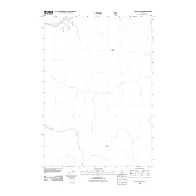
2011 Map of Tyee Mountain
USGS Topo · Published 2011About this map
Tyee Mountain and Tenmile Ridge define the vertical landscape of this Boise County region, where deep drainages and high divides dictate the movement of water and travelers alike. The South Fork Payette River cuts through the northern section of the map, fed by a network of tributaries including MacDonald Creek and Blue Jay Creek. To the south, the Crooked River and Bear River establish the primary east-west corridors through the drainage basins.
Find a feature on this map
20 named features on this map. Tap any name to fly to it.
Don’t see what you’re looking for? This feature index may not catch every label — zoom into the map to look around manually.
Map Details
Editions of this 2011 Tyee Mountain Map
This is the sole edition of this map. No revisions or reprints were ever made.
Other maps of this area

1891 · Bear Valley
USGS Topo · 1:125,000

1893 · Bear Valley
USGS Topo · 1:125,000

1894 · Rocky Bar
USGS Topo · 1:125,000

1955 · Hailey
USGS Topo · 1:250,000

1957 · Challis
USGS Topo · 1:250,000

1959 · Hailey
USGS Topo · 1:250,000

1960 · Challis
USGS Topo · 1:250,000

1962 · Hailey
USGS Topo · 1:250,000

1963 · Challis
USGS Topo · 1:250,000
1972 · Bear River
USGS Topo · 1:24,000