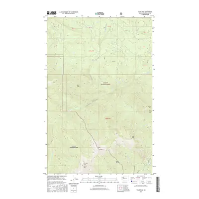
2017 Map of Tyler Peak
USGS Topo · Published 2017About this map
The Olympic Mountains dominate this high-elevation landscape within the Olympic National Forest and Olympic National Park. The topography is defined by the deep drainage of the Gray Wolf River and the Dungeness River, which carve through prominent landforms such as Gray Wolf Ridge and Three O'Clock Ridge. Several peaks serve as major landmarks for hikers and surveyors, including the map's namesake Tyler Peak, the nearby Peak B, and the high point at Baldy.
Find a feature on this map
30 named features on this map. Tap any name to fly to it.
Don’t see what you’re looking for? This feature index may not catch every label — zoom into the map to look around manually.
Map Details
Editions of this 2017 Tyler Peak Map
This is the sole edition of this map. No revisions or reprints were ever made.
Other maps of this area

1918 · Port Angeles
USGS Topo · 1:62,500

1938 · Mt Constance
USGS Topo · 1:125,000

1938 · Dungeness
USGS Topo · 1:62,500

1939 · Dungeness
USGS Topo · 1:62,500

1941 · Port Angeles
USGS Topo · 1:62,500

1944 · Mt. Angeles
USGS Topo · 1:62,500

1946 · Mt. Angeles
USGS Topo · 1:62,500

1946 · Tyler Peak
USGS Topo · 1:62,500

1948 · Tyler Peak
USGS Topo · 1:62,500

1956 · Sequim
USGS Topo · 1:24,000