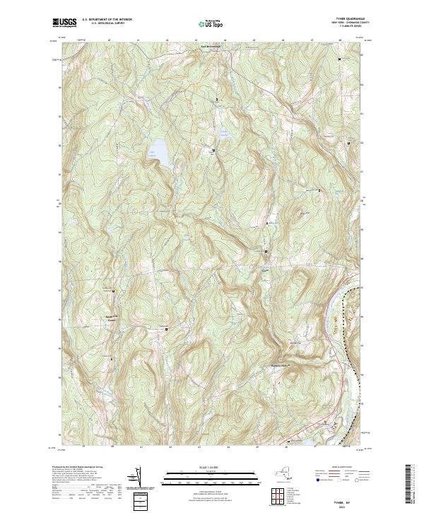
2023 Map of Tyner
USGS Topo · Published 2023About this map
Tyner and the rural hills of Chenango County are defined by a complex network of small cemeteries and the winding course of the Chenango River. This area, encompassing Smithville Center and East McDonough, maintains a landscape of family-named landmarks and historical burial grounds such as Ten Broeck Cem and the Towsley and Pond Cem. The terrain is shaped by distinct elevations like Painter Hill and Miller Hill, with numerous drainage systems including Bowman Creek and Tillotson Creek feeding into the river valley.
Find a feature on this map
79 named features on this map. Tap any name to fly to it.
Don’t see what you’re looking for? This feature index may not catch every label — zoom into the map to look around manually.
Map Details
Editions of this 2023 Tyner Map
This is the sole edition of this map. No revisions or reprints were ever made.
Other maps of this area

1902 · Coventry
USGS Topo · 1:62,500

1903 · Norwich
USGS Topo · 1:62,500

1904 · Greene
USGS Topo · 1:62,500

1904 · Oxford
USGS Topo · 1:62,500

1904 · Pitcher
USGS Topo · 1:62,500

1943 · Norwich
USGS Topo · 1:24,000

1943 · East Pharsalia
USGS Topo · 1:24,000

1943 · Pitcher
USGS Topo · 1:24,000
1943 · Norwich
USGS Topo · 1:62,500
1944 · Pitcher
USGS Topo · 1:31,680