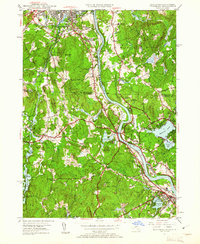
1950 Map of Tyngsboro
USGS Topo · Published 1961About this map
The Merrimack River carves a central path through this mid-century landscape, defining the corridor between Nashua and North Chelmsford. The terrain is characterized by a high density of family-named corners and drumlin-like hills, including Gilboa Hill and Potash Hill. These landmarks indicate a deeply rooted social geography, where local identities are tied to intersections like Whidden Corner and Swan Corner. Educational and religious institutions are prominent, with Rivier College, St Marie Convent, and Notre Dame Academy marking the cultural development of the era.
Find a feature on this map
85 named features on this map. Tap any name to fly to it.
Don’t see what you’re looking for? This feature index may not catch every label — zoom into the map to look around manually.
Map Details
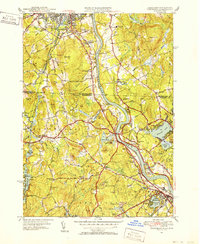
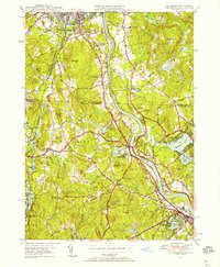
Editions of this 1950 Tyngsboro Map
3 editions found
Other maps of this area

1886 · Lowell
USGS Topo · 1:62,500

1893 · Lowell
USGS Topo · 1:62,500

1893 · Groton
USGS Topo · 1:62,500

1905 · Manchester
USGS Topo · 1:62,500

1906 · Milford
USGS Topo · 1:62,500

1918 · Lowell
USGS Topo · 1:62,500

1921 · Lowell
USGS Topo · 1:62,500

1931 · Lowell
USGS Topo · 1:48,000

1931 · Groton
USGS Topo · 1:48,000

1935 · Ayer
USGS Topo · 1:24,000