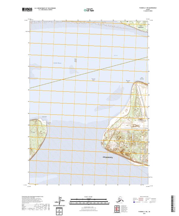
2023 Map of Tyonek A-1 NE
USGS Topo · Published 2023About this map
Cook Inlet and the Knik Arm define this coastal landscape, where the tides shape shifting hazards like North Point Shoal and Woronzof Shoal. This modern survey documents the western edge of Anchorage, emphasizing the critical transportation infrastructure at Ted Stevens Anchorage International Airport. Across the water, the isolated Fire Island sits at the entrance to the arm, home to the Fire Island Airport and the distinct shoreline of North Point.
Find a feature on this map
26 named features on this map. Tap any name to fly to it.
Don’t see what you’re looking for? This feature index may not catch every label — zoom into the map to look around manually.
Map Details
Editions of this 2023 Tyonek A-1 NE Map
This is the sole edition of this map. No revisions or reprints were ever made.
Other maps of this area

1949 · Tyonek
USGS Topo · 1:250,000

1951 · Anchorage
USGS Topo · 1:250,000

1951 · Tyonek
USGS Topo · 1:250,000

1951 · Tyonek A-1
USGS Topo · 1:63,360

1952 · Tyonek A-1
USGS Topo · 1:63,360

1952 · Anchorage A-8
USGS Topo · 1:63,360

1952 · Anchorage B-8
USGS Topo · 1:63,360

1953 · Anchorage A-8
USGS Topo · 1:63,360

1953 · Anchorage B-8
USGS Topo · 1:63,360

1958 · Tyonek B-1
USGS Topo · 1:63,360
Featured Places
- Matanuska-Susitna, AK
- Anchorage, AK
- United States
- Alaska
- Country Lane Estates Homeowner's Association, AK