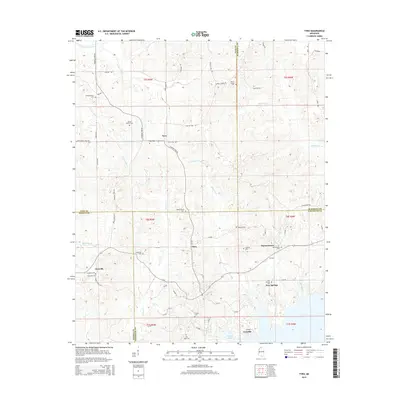
2015 Map of Tyro
USGS Topo · Published 2015About this map
Tyro and Harmontown anchor this rural landscape where the borders of Tate, Marshall, Panola, and Lafayette Counties converge. The terrain is defined by a dense network of country roads like Wyatte-Tyro Rd and Blackwater Rd that connect small settlements and numerous family-oriented burial grounds. Genealogists will find a concentration of local history at sites such as Independence Cem, Mount Patient Cem, and Harris Chapel Cem, which are scattered throughout the agricultural uplands.
Find a feature on this map
74 named features on this map. Tap any name to fly to it.
Don’t see what you’re looking for? This feature index may not catch every label — zoom into the map to look around manually.
Map Details
Editions of this 2015 Tyro Map
This is the sole edition of this map. No revisions or reprints were ever made.
Other maps of this area

1940 · Oxford
USGS Topo · 1:62,500

1943 · Oxford
USGS Topo · 1:62,500

1944 · Senatobia
USGS Topo · 1:62,500

1944 · Tyro
USGS Topo · 1:62,500

1952 · Sardis
USGS Topo · 1:62,500

1953 · Sardis
USGS Topo · 1:62,500

1956 · Tupelo
USGS Topo · 1:250,000

1958 · Tupelo
USGS Topo · 1:250,000
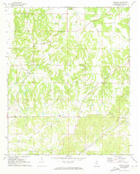
1971 · Marianna
USGS Topo · 1:24,000

1971 · Wyatte
USGS Topo · 1:24,000