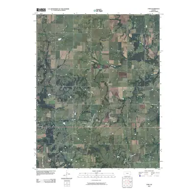
2010 Map of Tyro
USGS Topo · Published 2010About this map
Tyro sits at the heart of this Montgomery County landscape, where the local road network centers on the intersection of W Main St and 166. The settlement pattern reflects the agricultural character of southeastern Kansas, with small clusters like Wayside in the northwest and Jefferson in the northeast marking old rural hubs. The terrain is gently defined by waterways such as Onion Creek and Spring Creek, while the rise at Stony Point provides a rare point of elevation in the central township.
Find a feature on this map
39 named features on this map. Tap any name to fly to it.
Don’t see what you’re looking for? This feature index may not catch every label — zoom into the map to look around manually.
Map Details
Editions of this 2010 Tyro Map
This is the sole edition of this map. No revisions or reprints were ever made.
Other maps of this area

1886 · Independence
USGS Topo · 1:125,000

1894 · Independence
USGS Topo · 1:125,000

1901 · Nowata
USGS Topo · 1:125,000

1905 · Independence
USGS Topo · 1:125,000

1914 · Nowata
USGS Topo · 1:125,000

1947 · Joplin
USGS Topo · 1:250,000

1949 · Joplin
USGS Topo · 1:250,000

1954 · Tulsa
USGS Topo · 1:250,000

1954 · Joplin
USGS Topo · 1:250,000

1958 · Joplin
USGS Topo · 1:250,000