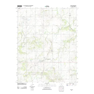
2012 Map of Tyro
USGS Topo · Published 2012About this map
The agricultural plains of Jefferson and Wayside dominate this southern Kansas landscape in Montgomery County. This modern 2012 survey illustrates the sparse, grid-based settlement pattern characteristic of the region, where wide-reaching townships are interconnected by a dense network of county roads. The terrain is shaped by several meandering watercourses including Onion Creek and Spring Creek, which cut through the open prairie. For genealogists and local historians, the map provides precise locations for rural infrastructure such as the Trinity Lutheran Cemetery and Pioneer Cemetery, along with local community hubs like the Tyro Wastewater Treatment Facility and the intersection at Tyro Cutoff.
Find a feature on this map
2 named features on this map. Tap any name to fly to it.
Don’t see what you’re looking for? This feature index may not catch every label — zoom into the map to look around manually.
Map Details
Editions of this 2012 Tyro Map
This is the sole edition of this map. No revisions or reprints were ever made.
Other maps of this area

1886 · Independence
USGS Topo · 1:125,000

1894 · Independence
USGS Topo · 1:125,000

1901 · Nowata
USGS Topo · 1:125,000

1905 · Independence
USGS Topo · 1:125,000

1914 · Nowata
USGS Topo · 1:125,000

1947 · Joplin
USGS Topo · 1:250,000

1949 · Joplin
USGS Topo · 1:250,000

1954 · Tulsa
USGS Topo · 1:250,000

1954 · Joplin
USGS Topo · 1:250,000

1958 · Joplin
USGS Topo · 1:250,000