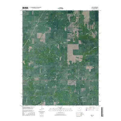
2015 Map of Tyro
USGS Topo · Published 2015About this map
Tyro sits at the heart of this Montgomery County landscape, where the local road network centers on W Main St and Lester St. The area's history is anchored by several burial grounds, including the Trinity Lutheran Cem and Pioneer Cem, which provide significant points of interest for genealogists researching early Kansas settlers. The terrain is defined by a series of creeks, most notably Onion Cr, Spring Cr, and Fawn Cr, which carve through the plains near the local high point of Stony Point.
Find a feature on this map
55 named features on this map. Tap any name to fly to it.
Don’t see what you’re looking for? This feature index may not catch every label — zoom into the map to look around manually.
Map Details
Editions of this 2015 Tyro Map
This is the sole edition of this map. No revisions or reprints were ever made.
Other maps of this area

1886 · Independence
USGS Topo · 1:125,000

1894 · Independence
USGS Topo · 1:125,000

1901 · Nowata
USGS Topo · 1:125,000

1905 · Independence
USGS Topo · 1:125,000

1914 · Nowata
USGS Topo · 1:125,000

1947 · Joplin
USGS Topo · 1:250,000

1949 · Joplin
USGS Topo · 1:250,000

1954 · Tulsa
USGS Topo · 1:250,000

1954 · Joplin
USGS Topo · 1:250,000

1958 · Joplin
USGS Topo · 1:250,000