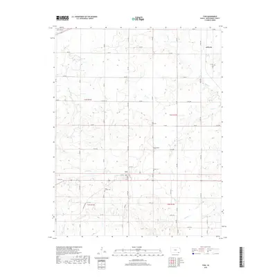
2018 Map of Tyro
USGS Topo · Published 2018About this map
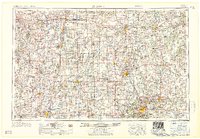
Tyro serves as the primary hub of this southern Montgomery County landscape, situated along a well-defined grid of section roads and the main corridor of W Main St. The settlement's layout is centered around Lester St and Wann Rd, providing a clear view of the village's footprint in the late 2010s. The surrounding geography is defined by a series of winding watercourses, including Onion Cr, Fawn Cr, and Spring Cr, which carve through the terrain near the prominent elevation of Stony Point.
Find a feature on this map
39 named features on this map. Tap any name to fly to it.
Don’t see what you’re looking for? This feature index may not catch every label — zoom into the map to look around manually.
Map Details
Editions of this 2018 Tyro Map
This is the sole edition of this map. No revisions or reprints were ever made.
Other maps of this area
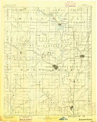
1886 · Independence
USGS Topo · 1:125,000
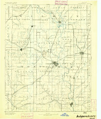
1894 · Independence
USGS Topo · 1:125,000
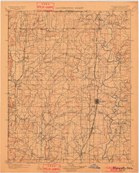
1901 · Nowata
USGS Topo · 1:125,000
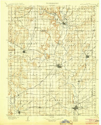
1905 · Independence
USGS Topo · 1:125,000
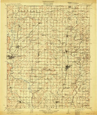
1914 · Nowata
USGS Topo · 1:125,000

1947 · Joplin
USGS Topo · 1:250,000
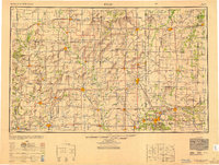
1949 · Joplin
USGS Topo · 1:250,000

1954 · Tulsa
USGS Topo · 1:250,000
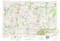
1954 · Joplin
USGS Topo · 1:250,000
1958 · Joplin
USGS Topo · 1:250,000