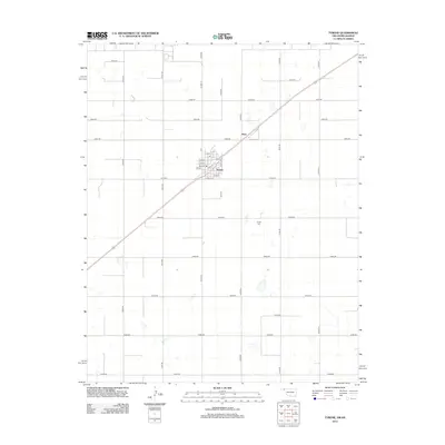
2012 Map of Tyrone
USGS Topo · Published 2012About this map
Tyrone serves as the central hub of this high plains landscape, defined by a rigid grid of rural roads and the diagonal path of the railway. The town's internal geography is documented through specific streets like Main St, Ogle St, and Powell St, while the surrounding Texas County acreage is carved into precise sections by routes such as Co Hwy-14 and E0050 Rd. A notable point of local history is found at the Tyrone Cem, located south of the main settlement. Further northeast along the rail line sits the smaller locality of Fluor. The land is characterized by numerous small depressions and basins typical of the region, interspersed among the expansive agricultural blocks that reach toward the Kansas border.
Find a feature on this map
35 named features on this map. Tap any name to fly to it.
Don’t see what you’re looking for? This feature index may not catch every label — zoom into the map to look around manually.
Map Details
Editions of this 2012 Tyrone Map
This is the sole edition of this map. No revisions or reprints were ever made.
Other maps of this area

1954 · Perryton
USGS Topo · 1:250,000

1955 · Dodge City
USGS Topo · 1:250,000

1958 · Perryton
USGS Topo · 1:250,000

1958 · Dodge City
USGS Topo · 1:250,000

1959 · Dodge City
USGS Topo · 1:250,000

1967 · Hooker
USGS Topo · 1:24,000

1967 · Adams
USGS Topo · 1:24,000

1967 · Hooker NW
USGS Topo · 1:24,000

1967 · Tyrone
USGS Topo · 1:24,000

1971 · Liberal
USGS Topo · 1:24,000