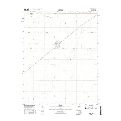
2016 Map of Tyrone
USGS Topo · Published 2016About this map
Tyrone occupies the heart of this High Plains landscape in Texas County, situated along a diagonal corridor that connects the settlement to Fluor and the nearby state line. The town's grid is clearly defined by residential streets such as Hall St, Oklahoma St, and E 7th St, reflecting a community structured around its primary transportation routes. Just to the southeast, the Tyrone Cem serves as a significant landmark for genealogical research and local history.
Find a feature on this map
37 named features on this map. Tap any name to fly to it.
Don’t see what you’re looking for? This feature index may not catch every label — zoom into the map to look around manually.
Map Details
Editions of this 2016 Tyrone Map
This is the sole edition of this map. No revisions or reprints were ever made.
Other maps of this area

1954 · Perryton
USGS Topo · 1:250,000

1955 · Dodge City
USGS Topo · 1:250,000

1958 · Perryton
USGS Topo · 1:250,000

1958 · Dodge City
USGS Topo · 1:250,000

1959 · Dodge City
USGS Topo · 1:250,000

1967 · Hooker
USGS Topo · 1:24,000

1967 · Adams
USGS Topo · 1:24,000

1967 · Hooker NW
USGS Topo · 1:24,000

1967 · Tyrone
USGS Topo · 1:24,000

1971 · Liberal
USGS Topo · 1:24,000