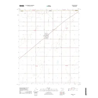
2018 Map of Tyrone
USGS Topo · Published 2018About this map
Tyrone serves as the primary hub of this High Plains landscape, situated just south of the Kansas Oklahoma state line. The town's grid is well-defined, featuring streets such as Oklahoma St, Ogle St, and Residence St. This 2018 survey captures a community deeply integrated with its surrounding agricultural section lines, marked by a dense network of local roads including Co Hwy 53 and Co Hwy D. Just to the southwest of the main settlement lies the Tyrone Cem, a significant site for local genealogical research. To the northeast, the small rail-aligned settlement of Fluor highlights the historical importance of the transportation corridor cutting diagonally across the quadrangle. The topography is relatively level, characteristic of the Oklahoma Panhandle, with subtle depressions and drainage patterns that define the rural expanse of Texas County.
Find a feature on this map
39 named features on this map. Tap any name to fly to it.
Don’t see what you’re looking for? This feature index may not catch every label — zoom into the map to look around manually.
Map Details
Editions of this 2018 Tyrone Map
This is the sole edition of this map. No revisions or reprints were ever made.
Other maps of this area

1954 · Perryton
USGS Topo · 1:250,000

1955 · Dodge City
USGS Topo · 1:250,000

1958 · Perryton
USGS Topo · 1:250,000

1958 · Dodge City
USGS Topo · 1:250,000

1959 · Dodge City
USGS Topo · 1:250,000

1967 · Hooker
USGS Topo · 1:24,000

1967 · Adams
USGS Topo · 1:24,000

1967 · Hooker NW
USGS Topo · 1:24,000

1967 · Tyrone
USGS Topo · 1:24,000

1971 · Liberal
USGS Topo · 1:24,000