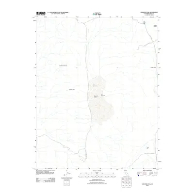
2012 Map of Ubehebe Peak
USGS Topo · Published 2012About this map
The Racetrack, a famous dry lakebed known for its moving stones, sits at the heart of this high-desert basin. Located within Death Valley National Park, the terrain is defined by the sharp vertical rise of the Last Chance Range to the west and the prominent spire of Ubehebe Peak overlooking the valley floor. The map details the isolated drainage patterns and geological formations characteristic of the Mojave Desert, including the rock outcropping known as The Grandstand which rises abruptly from the playa. Remote access is provided by unpaved tracks like Ubehebe Rd and Hunter Mountain Rd, leading travelers through landmarks such as Lost Burro Gap and into the secluded Hidden Valley. The absence of permanent settlements emphasizes the protected, wilderness character of this corner of Inyo County.
Find a feature on this map
12 named features on this map. Tap any name to fly to it.
Don’t see what you’re looking for? This feature index may not catch every label — zoom into the map to look around manually.
Map Details
Editions of this 2012 Ubehebe Peak Map
This is the sole edition of this map. No revisions or reprints were ever made.
Other maps of this area

1908 · Ballarat
USGS Topo · 1:250,000

1913 · Ballarat
USGS Topo · 1:250,000

1948 · Death Valley
USGS Topo · 1:250,000

1950 · Ubehebe Peak
USGS Topo · 1:62,500

1951 · Ubehebe Peak
USGS Topo · 1:62,500

1951 · Marble Canyon
USGS Topo · 1:62,500

1954 · Death Valley
USGS Topo · 1:250,000

1956 · Death Valley
USGS Topo · 1:250,000

1957 · Death Valley
USGS Topo · 1:250,000

1957 · Tin Mountain
USGS Topo · 1:62,500