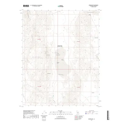
2018 Map of Ubehebe Peak
USGS Topo · Published 2018About this map
Death Valley National Park encompasses this dramatic high-desert landscape, dominated by the legendary dry lake bed known as the Racetrack. This flat playa is famous for the Racetrack Moving Rocks, where stones leave long, visible trails across the sediment. The geological story of the region is written in its stark elevations, from the jagged Last Chance Range to the summit of Ubehebe Peak. In the center of the playa, the Grandstand rises as an island of dark rock against the light clay of Racetrack Valley. To the north and east, the Cottonwood Mountains and Hidden Valley provide a stark contrast to the low flats of Ulida Flat. Vital water sources in this arid environment are sparse, with Dodd Springs and the passage at Lost Burro Gap serving as critical landmarks for travelers navigating the northern reaches of the Mojave Desert.
Find a feature on this map
18 named features on this map. Tap any name to fly to it.
Don’t see what you’re looking for? This feature index may not catch every label — zoom into the map to look around manually.
Map Details
Editions of this 2018 Ubehebe Peak Map
This is the sole edition of this map. No revisions or reprints were ever made.
Other maps of this area

1908 · Ballarat
USGS Topo · 1:250,000

1913 · Ballarat
USGS Topo · 1:250,000

1948 · Death Valley
USGS Topo · 1:250,000

1950 · Ubehebe Peak
USGS Topo · 1:62,500

1951 · Ubehebe Peak
USGS Topo · 1:62,500

1951 · Marble Canyon
USGS Topo · 1:62,500

1954 · Death Valley
USGS Topo · 1:250,000

1956 · Death Valley
USGS Topo · 1:250,000

1957 · Death Valley
USGS Topo · 1:250,000

1957 · Tin Mountain
USGS Topo · 1:62,500