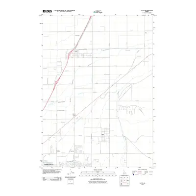
2011 Map of Ucon
USGS Topo · Published 2011About this map
Idaho Falls and its surrounding agricultural satellite communities appear in high detail at the start of the 21st century. The landscape is defined by an intricate network of irrigation infrastructure essential to the region's farming economy, featuring the Garfield Ucon Canal, Farmers Friend Canal, and Ririe Outlet Canal among many others. These man-made waterways crisscross the Snake River Plain, supporting the established settlements of Ucon, Iona, and Milo. To the south, the northern reaches of Lincoln and the Lincoln Cemetery mark the transition toward the larger urban center. Natural watercourses like North Fork Willow Creek and South Fork Willow Creek meander through the grid-like road system, which includes the prominent N Yellowstone Hwy. The map documents the persistent agricultural character of the area even as residential developments expand near Beachs Corner.
Find a feature on this map
47 named features on this map. Tap any name to fly to it.
Don’t see what you’re looking for? This feature index may not catch every label — zoom into the map to look around manually.
Map Details
Editions of this 2011 Ucon Map
This is the sole edition of this map. No revisions or reprints were ever made.
Other maps of this area

1924 · Ammon
USGS Topo · 1:62,500

1948 · Rigby
USGS Topo · 1:24,000

1948 · Lewisville
USGS Topo · 1:24,000

1948 · Idaho Falls North
USGS Topo · 1:24,000

1948 · Idaho Falls South
USGS Topo · 1:24,000

1948 · Ucon
USGS Topo · 1:24,000

1949 · Ucon
USGS Topo · 1:24,000

1949 · Idaho Falls North
USGS Topo · 1:24,000

1949 · Rigby
USGS Topo · 1:24,000

1949 · Lewisville
USGS Topo · 1:24,000