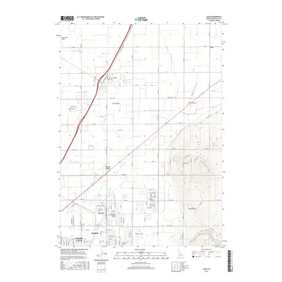
2017 Map of Ucon
USGS Topo · Published 2017About this map
The Snake River Valley northeast of Idaho Falls is defined by a complex network of irrigation infrastructure essential to the high desert plains. This modern survey shows a landscape where water management dictates the patterns of growth, from the Garfield-Ucon Canal and Ririe Outlet Canal to smaller channels like the McGill Ditch and Biby Ditch. Local settlements such as Ucon, Iona, and Beachs Corner serve as hubs within this agricultural grid, while the northern outskirts of Ammon and Lincoln show the transition toward suburban residential expansion.
Find a feature on this map
74 named features on this map. Tap any name to fly to it.
Don’t see what you’re looking for? This feature index may not catch every label — zoom into the map to look around manually.
Map Details
Editions of this 2017 Ucon Map
This is the sole edition of this map. No revisions or reprints were ever made.
Other maps of this area

1924 · Ammon
USGS Topo · 1:62,500

1948 · Rigby
USGS Topo · 1:24,000

1948 · Lewisville
USGS Topo · 1:24,000

1948 · Idaho Falls North
USGS Topo · 1:24,000

1948 · Idaho Falls South
USGS Topo · 1:24,000

1948 · Ucon
USGS Topo · 1:24,000

1949 · Ucon
USGS Topo · 1:24,000

1949 · Idaho Falls North
USGS Topo · 1:24,000

1949 · Rigby
USGS Topo · 1:24,000

1949 · Lewisville
USGS Topo · 1:24,000