
1958 Map of Ukiah
USGS Topo · Published 1960About this map
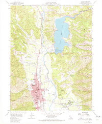
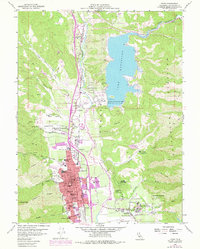
Lake Mendocino dominates the northern landscape of this late-1950s survey, held back by the recently completed Coyote Dam on the East Fork Russian River. The valley floor is a busy corridor for transport and administration, centered on the city of Ukiah. Here, the county seat features its Courthouse, Union High School, and several local campuses like Nokomis School. To the south and east, the large complex of the Mendocino State Hospital stands near the community of Talmage. The map highlights the area's diverse land use, from the Pinoliville Rancheria and Yokayo Ranch to the industrial presence of the Northwestern Pacific Railroad and the Ukiah Municipal Airport. Orchards and vineyards fill the valley between the Russian River and the rising slopes of the Mayacmas Mountains.
Find a feature on this map
49 named features on this map. Tap any name to fly to it.
Don’t see what you’re looking for? This feature index may not catch every label — zoom into the map to look around manually.
Map Details
Editions of this 1958 Ukiah Map
3 editions found
Other maps of this area

1920 · Ukiah
USGS Topo · 1:62,500

1922 · Willits
USGS Topo · 1:62,500

1942 · Willits
USGS Topo · 1:62,500

1943 · Pomo
USGS Topo · 1:62,500

1943 · Boonville
USGS Topo · 1:62,500

1944 · Ukiah
USGS Topo · 1:62,500

1944 · Willits
USGS Topo · 1:62,500

1957 · Ukiah
USGS Topo · 1:250,000
1958 · Purdys Gardens
USGS Topo · 1:24,000

1958 · Cow Mountain
USGS Topo · 1:24,000