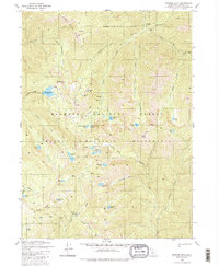
1980 Map of Ukonom Lake
USGS Topo · Published 1981About this map
Klamath National Forest and the Marble Mountain Wilderness define this high-elevation landscape, where an intricate network of alpine basins and creek valleys converge. The terrain is marked by distinctive local landmarks like Johnsons Hunting Ground and Pigeon Roost, reflecting a history of backcountry utility and hunting. Dozens of small lakes, including Ukonom Lake, Cuddihy Lakes, and Secret Lake, are tucked into the drainages of Independence Creek and Wooley Creek.
Find a feature on this map
55 named features on this map. Tap any name to fly to it.
Don’t see what you’re looking for? This feature index may not catch every label — zoom into the map to look around manually.
Map Details
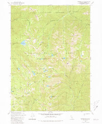
Editions of this 1980 Ukonom Lake Map
2 editions found
Other maps of this area

1914 · Seiad
USGS Topo · 1:125,000

1922 · Seiad
USGS Topo · 1:125,000

1948 · Weed
USGS Topo · 1:250,000

1950 · Weed
USGS Topo · 1:250,000

1955 · Sawyers Bar
USGS Topo · 1:62,500

1955 · Ukonom Lake
USGS Topo · 1:62,500

1955 · Scott Bar
USGS Topo · 1:62,500

1955 · Forks of Salmon
USGS Topo · 1:62,500

1958 · Weed
USGS Topo · 1:250,000

1963 · Weed
USGS Topo · 1:250,000