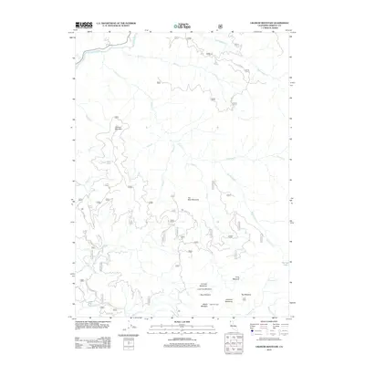
2012 Map of Ukonom Mountain
USGS Topo · Published 2012About this map
Ukonom Mountain and Ten Bear Mountain dominate this Siskiyou County landscape, defined by a complex network of canyons and high-elevation meadows. The northern boundary is marked by the Klamath River, where it meets Coon Cr and King Cr. This 2012 survey illustrates the remote character of the territory, where human presence is primarily indicated by isolated outposts like Jims Camp and Jawbone Camp. Extensive mountain drainage systems including Ukonom Cr, McCash Fork, and Haypress Cr converge toward the river, while a series of named openings such as Long Meadow, Ti Creek Meadows, and Big Meadow provide geographical markers in the dense terrain. The infrastructure is limited to specialized routes like Sandy Bar Rd and various Forest Service roads, reflecting a landscape largely shaped by natural watercourses and the peaks of the Klamath Mountains.
Find a feature on this map
52 named features on this map. Tap any name to fly to it.
Don’t see what you’re looking for? This feature index may not catch every label — zoom into the map to look around manually.
Map Details
Editions of this 2012 Ukonom Mountain Map
This is the sole edition of this map. No revisions or reprints were ever made.
Other maps of this area

1914 · Seiad
USGS Topo · 1:125,000

1922 · Preston Peak
USGS Topo · 1:125,000

1922 · Seiad
USGS Topo · 1:125,000

1925 · Hoopa
USGS Topo · 1:125,000

1948 · Weed
USGS Topo · 1:250,000

1950 · Weed
USGS Topo · 1:250,000

1952 · Orleans
USGS Topo · 1:62,500

1955 · Dillon Mtn
USGS Topo · 1:62,500

1955 · Ukonom Lake
USGS Topo · 1:62,500

1955 · Forks of Salmon
USGS Topo · 1:62,500