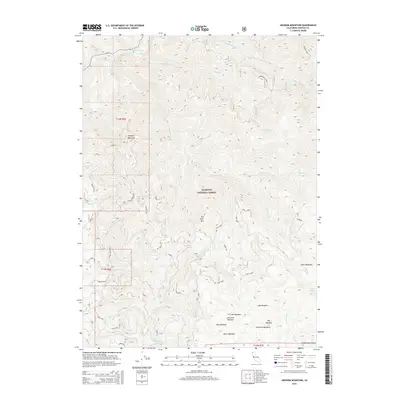
2015 Map of Ukonom Mountain
USGS Topo · Published 2015About this map
Klamath National Forest defines this high-elevation landscape in Siskiyou County, dominated by the massif of Ukonom Mountain. The terrain is deeply incised by the Klamath River and its numerous tributaries, including Ukonom Cr and King Cr. This 2015 survey illustrates a wilderness-oriented geography where travel is dictated by forest service routes like the Ten Bear Trail and various fire roads. High mountain meadows such as Haypress Meadows, Ti Creek Meadows, and Big Meadow are scattered across the ridges, providing essential open spaces amidst the dense timber. The presence of Camp Three and Camp Four indicates the localized infrastructure used for forest management and back-country access. To the southeast, the boundary of the Marble Mountains wilderness further emphasizes the protected and undeveloped nature of the region during the early 21st century.
Find a feature on this map
73 named features on this map. Tap any name to fly to it.
Don’t see what you’re looking for? This feature index may not catch every label — zoom into the map to look around manually.
Map Details
Editions of this 2015 Ukonom Mountain Map
This is the sole edition of this map. No revisions or reprints were ever made.
Other maps of this area

1914 · Seiad
USGS Topo · 1:125,000

1922 · Preston Peak
USGS Topo · 1:125,000

1922 · Seiad
USGS Topo · 1:125,000

1925 · Hoopa
USGS Topo · 1:125,000

1948 · Weed
USGS Topo · 1:250,000

1950 · Weed
USGS Topo · 1:250,000

1952 · Orleans
USGS Topo · 1:62,500

1955 · Dillon Mtn
USGS Topo · 1:62,500

1955 · Ukonom Lake
USGS Topo · 1:62,500

1955 · Forks of Salmon
USGS Topo · 1:62,500