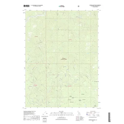
2018 Map of Ukonom Mountain
USGS Topo · Published 2018About this map
The Klamath River carves through the northwestern corner of this territory, where the terrain is defined by the steep elevation gains of Ukonom Mtn and Ten Bear Mtn. High-altitude meadows such as Haypress Meadows, Lone Pine Meadow, and Hells Meadows are clustered in the southern and eastern reaches, signaling the transition into the Marble Mountains. The map documents a specialized network of forest infrastructure, featuring the Ukonom Mountain Lookout and established routes like the Ten Bear Trail. These paths, including the Sandy Bar Loop and Ti Loop, indicate a landscape managed for both timber and recreation within the Klamath National Forest. Named points such as Kennedy Flats and Sandy Bar along the riverbanks provide specific reference points for those studying the historical geography of this northern California wilderness.
Find a feature on this map
56 named features on this map. Tap any name to fly to it.
Don’t see what you’re looking for? This feature index may not catch every label — zoom into the map to look around manually.
Map Details
Editions of this 2018 Ukonom Mountain Map
This is the sole edition of this map. No revisions or reprints were ever made.
Other maps of this area

1914 · Seiad
USGS Topo · 1:125,000

1922 · Preston Peak
USGS Topo · 1:125,000

1922 · Seiad
USGS Topo · 1:125,000

1925 · Hoopa
USGS Topo · 1:125,000

1948 · Weed
USGS Topo · 1:250,000

1950 · Weed
USGS Topo · 1:250,000

1952 · Orleans
USGS Topo · 1:62,500

1955 · Dillon Mtn
USGS Topo · 1:62,500

1955 · Ukonom Lake
USGS Topo · 1:62,500

1955 · Forks of Salmon
USGS Topo · 1:62,500