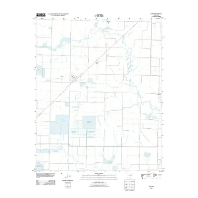
2011 Map of Ulm
USGS Topo · Published 2011About this map
Agricultural irrigation and regional drainage define the landscape around Ulm, where an extensive network of man-made water storage features supports the Grand Prairie's rice-growing tradition. Numerous family-named reservoirs, such as Fridenburg Reservoir, Baker Brothers Reservoir, and Hammonds Reservoir, are interspersed with the natural winding courses of La Grue Bayou and Sherril Creek. This 2011 survey reveals a settlement pattern tied to rail and road, with the town center at Ulm and the rail-related Audrich Switch and Lookout located along the transportation corridors that bisect the rectangular field divisions.
Find a feature on this map
73 named features on this map. Tap any name to fly to it.
Don’t see what you’re looking for? This feature index may not catch every label — zoom into the map to look around manually.
Map Details
Editions of this 2011 Ulm Map
This is the sole edition of this map. No revisions or reprints were ever made.
Other maps of this area

1935 · Clarendon
USGS Topo · 1:62,500

1937 · Stuttgart
USGS Topo · 1:62,500

1939 · Stuttgart
USGS Topo · 1:62,500

1941 · De Witt
USGS Topo · 1:62,500

1941 · Goldman
USGS Topo · 1:62,500

1941 · Clarendon
USGS Topo · 1:62,500

1948 · Helena
USGS Topo · 1:250,000

1950 · Helena
USGS Topo · 1:250,000

1954 · De Witt
USGS Topo · 1:62,500

1955 · Helena
USGS Topo · 1:250,000