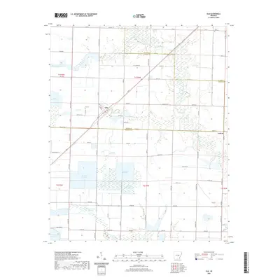
2020 Map of Ulm
USGS Topo · Published 2020About this map
Ulm serves as the central hub for this agricultural landscape, where the flatlands of Prairie and Arkansas Counties are intricately managed for water resources. The settlement, defined by streets like Commerce and Front, sits at a critical junction of local transport and drainage. The map reveals an extensive system of man-made irrigation, with large-scale basins such as Trotters Reservoir, Fridenburg Reservoir, and the Layne Arkansas Reservoir dominating the terrain. These features, alongside natural waterways like La Grue Bayou and Little LaGrue Bayou, underscore the region's historical reliance on sophisticated water management for its prairie-based economy. Scattered sites of local heritage, such as Zion Cem and Saint Paul Cem near the Monroe County line, provide grounding points for genealogical research, while the small settlement of Lookout marks the eastern edge of this rural survey.
Find a feature on this map
84 named features on this map. Tap any name to fly to it.
Don’t see what you’re looking for? This feature index may not catch every label — zoom into the map to look around manually.
Map Details
Editions of this 2020 Ulm Map
This is the sole edition of this map. No revisions or reprints were ever made.
Other maps of this area

1935 · Clarendon
USGS Topo · 1:62,500

1937 · Stuttgart
USGS Topo · 1:62,500

1939 · Stuttgart
USGS Topo · 1:62,500

1941 · De Witt
USGS Topo · 1:62,500

1941 · Goldman
USGS Topo · 1:62,500

1941 · Clarendon
USGS Topo · 1:62,500

1948 · Helena
USGS Topo · 1:250,000

1950 · Helena
USGS Topo · 1:250,000

1954 · De Witt
USGS Topo · 1:62,500

1955 · Helena
USGS Topo · 1:250,000