2024 Map of Ulm
USGS Topo · Published 2024About this map
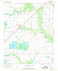
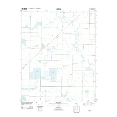
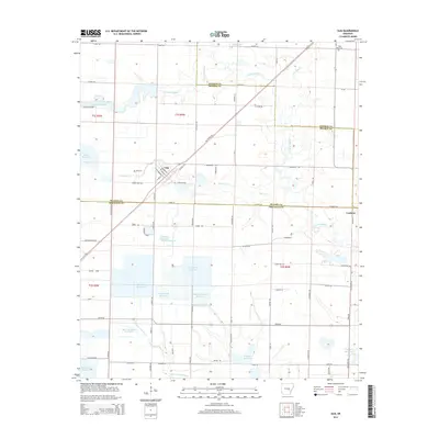
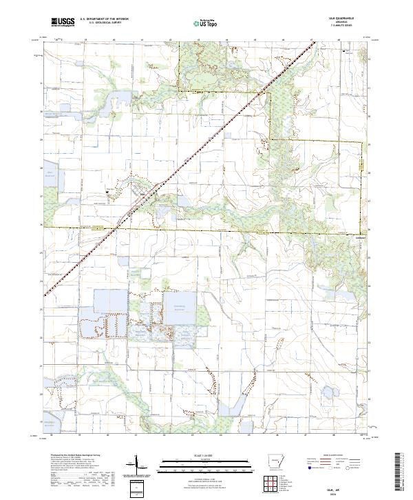
Agricultural water management and the crossing of prairie bayous define this landscape on the border of Monroe and Arkansas counties. The settlement of Ulm serves as a local hub, situated at a junction where 2nd St cuts through the rural grid. The region's geography is heavily shaped by an extensive network of man-made water features, including large catchment areas like Baker Brothers Reservoir, Fridenburg Reservoir, and Layne Arkansas Reservoir. These modern features interact with the natural drainage of La Grue Bayou and Lost Island Bayou, illustrating the intensive irrigation required for the local rice and soybean economy.
Find a feature on this map
94 named features on this map. Tap any name to fly to it.
Don’t see what you’re looking for? This feature index may not catch every label — zoom into the map to look around manually.
Map Details
Editions of this 2024 Ulm Map
This is the sole edition of this map. No revisions or reprints were ever made.
Historical Maps of Ulm Through Time
6 maps found