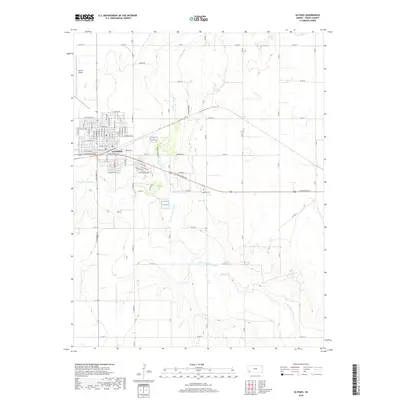
2018 Map of Ulysses
USGS Topo · Published 2018About this map
The High Plains city of Ulysses serves as the focal point of this Grant County survey, showing a well-defined residential and commercial grid that transitions abruptly into the surrounding agricultural landscape. The town's layout is grounded by major thoroughfares like W Oklahoma Ave and S Main St, with the residential sectors extending toward Ulysses Airport to the northwest. This 2018 edition illustrates the modern scale of irrigation and land management in southwest Kansas, where the grid of county roads, such as Co Rd 12 and Co Rd 15, strictly partitions the terrain.
Find a feature on this map
65 named features on this map. Tap any name to fly to it.
Don’t see what you’re looking for? This feature index may not catch every label — zoom into the map to look around manually.
Map Details
Editions of this 2018 Ulysses Map
This is the sole edition of this map. No revisions or reprints were ever made.
Other maps of this area

1891 · Larned
USGS Topo · 1:125,000

1900 · Lakin
USGS Topo · 1:125,000

1944 · Moscow
USGS Topo · 1:62,500

1945 · Moscow
USGS Topo · 1:62,500

1955 · Dodge City
USGS Topo · 1:250,000

1958 · Dodge City
USGS Topo · 1:250,000

1959 · Dodge City
USGS Topo · 1:250,000

1959 · Ulysses NW
USGS Topo · 1:24,000

1959 · Ulysses
USGS Topo · 1:24,000

1959 · Ulysses NE
USGS Topo · 1:24,000