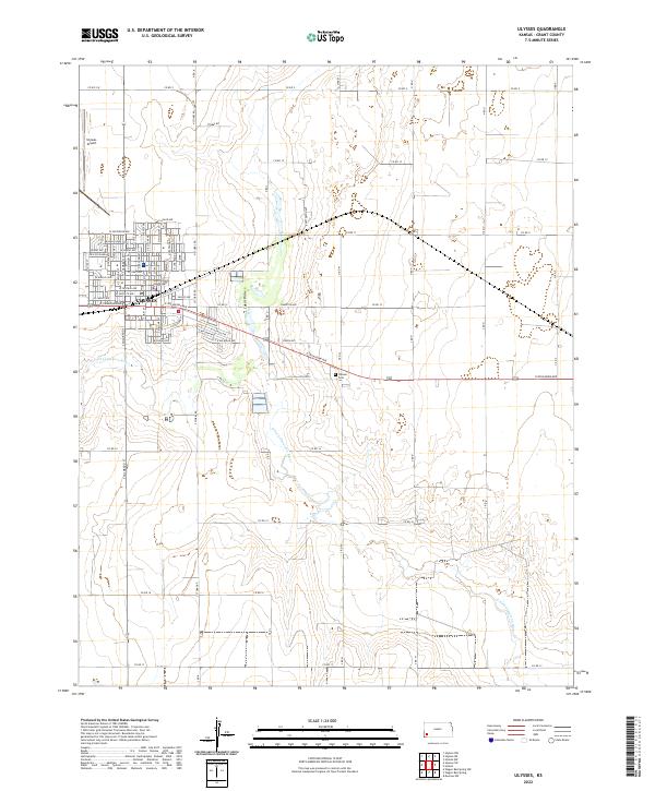
2022 Map of Ulysses
USGS Topo · Published 2022About this map
Ulysses serves as the High Plains hub of Grant County, centered around the Grant County Courthouse and a detailed grid of residential and commercial streets. This modern survey illustrates a landscape dominated by agriculture and energy, where the town's expansion is defined by arterial roads like W Oklahoma Ave and Industrial Ave. The surrounding High Plains terrain is etched by the seasonal path of the N Fork Cimarron River and the smaller Lakini Draw, highlighting the critical role of water management in this arid region. Significant local landmarks include the Ulysses Airport to the northwest and the Ulysses Cem situated along the river's edge. The map captures the organized section-line road system, including Stubbs Rd and Co Rd 11, which connects the concentrated town site to the vast agricultural sections of the surrounding prairie.
Find a feature on this map
42 named features on this map. Tap any name to fly to it.
Don’t see what you’re looking for? This feature index may not catch every label — zoom into the map to look around manually.
Map Details
Editions of this 2022 Ulysses Map
This is the sole edition of this map. No revisions or reprints were ever made.
Other maps of this area

1891 · Larned
USGS Topo · 1:125,000

1900 · Lakin
USGS Topo · 1:125,000

1944 · Moscow
USGS Topo · 1:62,500

1945 · Moscow
USGS Topo · 1:62,500

1955 · Dodge City
USGS Topo · 1:250,000

1958 · Dodge City
USGS Topo · 1:250,000

1959 · Dodge City
USGS Topo · 1:250,000

1959 · Ulysses NW
USGS Topo · 1:24,000

1959 · Ulysses
USGS Topo · 1:24,000

1959 · Ulysses NE
USGS Topo · 1:24,000