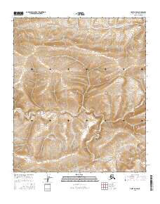
2016 Map of Umiat A-5 SW
USGS Topo · Published 2016About this map
Ninuluk Cr and its tributary, the E Fork Ninuluk Cr, meander through the southern reaches of this North Slope landscape, carving deep relief into the tundra. In the northern sections, the drainage of Fossil Cr defines the local topography, which is largely characterized by complex contour patterns and high-latitude drainage systems. This 2016 survey illustrates the remote wilderness of the Arctic, where the environment is shaped entirely by these seasonal watercourses. The lack of any roads, structures, or industrial development underscores the isolation of the territory, which is partitioned into large townships including t4s r4w and t5s r4w. The map provides a precise record of natural drainage patterns and elevation changes across this portion of the borough, reflecting the undisturbed state of the northern Alaskan interior.
Find a feature on this map
9 named features on this map. Tap any name to fly to it.
Don’t see what you’re looking for? This feature index may not catch every label — zoom into the map to look around manually.
Map Details
Editions of this 2016 Umiat A-5 SW Map
This is the sole edition of this map. No revisions or reprints were ever made.
Other maps of this area

1951 · Ikpikpuk River
USGS Topo · 1:250,000

1951 · Chandler Lake
USGS Topo · 1:250,000

1951 · Killik River
USGS Topo · 1:250,000

1952 · Umiat
USGS Topo · 1:250,000

1955 · Umiat A-5
USGS Topo · 1:63,360

1956 · Chandler Lake
USGS Topo · 1:250,000

1956 · Killik River
USGS Topo · 1:250,000

1956 · Ikpikpuk River
USGS Topo · 1:250,000

1956 · Umiat
USGS Topo · 1:250,000

1964 · Chandler Lake
USGS Topo · 1:250,000