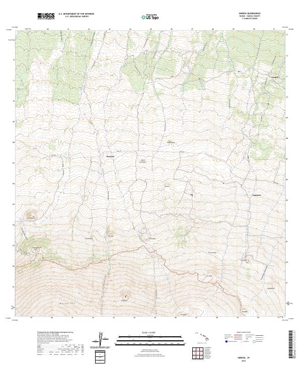
2024 Map of Umikoa
USGS Topo · Published 2024About this map
Mauna Kea dominates the southern landscape of this 2024 survey, with its high-elevation terrain carved by an intricate network of drainage channels. The slopes are marked by numerous cinder cones and volcanic peaks, such as Pu'ukea, Pu'u'ula'ula, and Pu'ukole. These natural landmarks sit above the ranching and forest lands where small settlements like Umikoa and Hanaipoe are established. Navigation through this high-country environment relies on the historic Mana Rd and the Mauna Kea Access Road Trl, which connect the remote outposts across the northern flank of the mountain.
Find a feature on this map
35 named features on this map. Tap any name to fly to it.
Don’t see what you’re looking for? This feature index may not catch every label — zoom into the map to look around manually.
Map Details
Editions of this 2024 Umikoa Map
This is the sole edition of this map. No revisions or reprints were ever made.
Other maps of this area

1915 · Hamakua
USGS Topo · 1:62,500

1916 · Waipio
USGS Topo · 1:62,500

1954 · Hawaii North
USGS Topo · 1:250,000

1956 · Pua Akala
USGS Topo · 1:24,000

1956 · Keanakolu
USGS Topo · 1:24,000

1956 · Makahalau
USGS Topo · 1:24,000
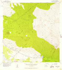
1956 · Ahumoa
USGS Topo · 1:24,000

1956 · Mauna Kea
USGS Topo · 1:24,000

1956 · Umikoa
USGS Topo · 1:24,000

1957 · Kukaiau
USGS Topo · 1:24,000