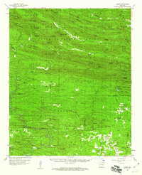
1959 Map of Umpire
USGS Topo · Published 1960About this map
The Ouachita National Forest dominates the northern half of this terrain, where steep ridges like the Hanna Range and Porter Mountain rise above the drainage basins of the Cossatot River and the Little Missouri River. This late-1950s survey captures a landscape defined by isolated homesteads and small gathering places along the valleys, including the settlements of Umpire and Galena in the southern reaches. Local community life is anchored by landmarks such as Center Ch, Midway Ch, and several family or community burial grounds including Union Cem and Section Cem.
Find a feature on this map
96 named features on this map. Tap any name to fly to it.
Don’t see what you’re looking for? This feature index may not catch every label — zoom into the map to look around manually.
Map Details
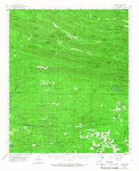
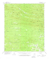
Editions of this 1959 Umpire Map
3 editions found
Other maps of this area
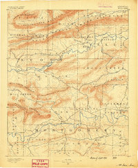
1890 · Mount Ida
USGS Topo · 1:125,000
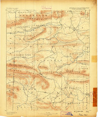
1890 · Poteau Mountain
USGS Topo · 1:125,000
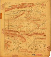
1899 · Poteau Mountain
USGS Topo · 1:125,000
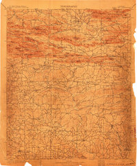
1906 · Caddo Gap
USGS Topo · 1:125,000
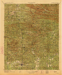
1913 · De Queen
USGS Topo · 1:125,000
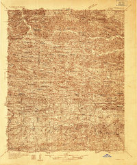
1936 · Athens
USGS Topo · 1:48,000
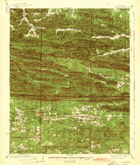
1942 · Athens
USGS Topo · 1:62,500

1950 · Mcalester
USGS Topo · 1:250,000

1955 · Little Rock
USGS Topo · 1:250,000

1956 · Little Rock
USGS Topo · 1:250,000