
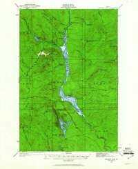
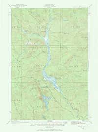
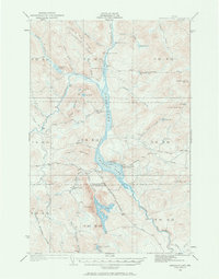
1932 Map of Umsaskis Lake
USGS Topo · Published 1932About this map
Umsaskis Lake and the surrounding wilderness of northern Maine are captured here in 1932, revealing a landscape defined by the commercial timber industry and seasonal sporting camps. The region, straddling the Aroostook and Piscataquis boundary, relies on a network of unpaved routes like the Harding Road and Tote Road to connect remote outposts. These outposts, including Churchill Depot and the American Realty Depot Camp, served as critical logistical hubs for logging operations during a period when Maine's North Woods were still largely inaccessible to the general public.
Find a feature on this map
55 named features on this map. Tap any name to fly to it.
Don’t see what you’re looking for? This feature index may not catch every label — zoom into the map to look around manually.
Map Details
Editions of this 1932 Umsaskis Lake Map
4 editions found
Other maps of this area

1932 · Musquacook Lakes
USGS Topo · 1:48,000

1932 · Allagash Falls
USGS Topo · 1:48,000

1935 · Umsaskis Lake
USGS Topo · 1:62,500

1935 · Musquacook Lakes
USGS Topo · 1:62,500

1935 · Allagash Falls
USGS Topo · 1:62,500

1954 · Spider Lake
USGS Topo · 1:62,500

1954 · Churchill Lake
USGS Topo · 1:62,500

1954 · Allagash Lake
USGS Topo · 1:62,500

1954 · Presque Isle
USGS Topo · 1:250,000

1955 · Round Pond
USGS Topo · 1:62,500