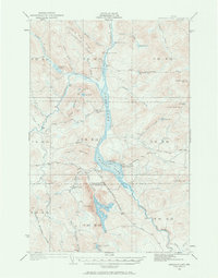
1932 Map of Umsaskis Lake
USGS Topo · Published 1966About this map
The Allagash River waterway dominates this northern Maine wilderness as it appeared in the early 1930s, connecting Long Lake and Umsaskis Lake through a series of thoroughfares. This remote corridor was defined by the logging industry and fire protection infrastructure, evidenced by the presence of the American Realty Depot Camp and the Fire Warden Camp near the lakeshore. A ferry crossing and the Paquette Sch indicate a small but established community centered around the river economy.
Find a feature on this map
57 named features on this map. Tap any name to fly to it.
Don’t see what you’re looking for? This feature index may not catch every label — zoom into the map to look around manually.
Map Details
Editions of this 1932 Umsaskis Lake Map
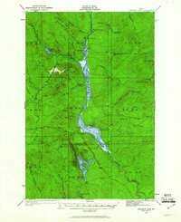
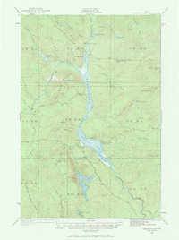
4 editions found
Other maps of this area

1932 · Umsaskis Lake
USGS Topo · 1:48,000

1932 · Musquacook Lakes
USGS Topo · 1:48,000

1932 · Allagash Falls
USGS Topo · 1:48,000

1935 · Umsaskis Lake
USGS Topo · 1:62,500

1935 · Musquacook Lakes
USGS Topo · 1:62,500

1935 · Allagash Falls
USGS Topo · 1:62,500

1954 · Spider Lake
USGS Topo · 1:62,500

1954 · Churchill Lake
USGS Topo · 1:62,500

1954 · Allagash Lake
USGS Topo · 1:62,500

1954 · Presque Isle
USGS Topo · 1:250,000