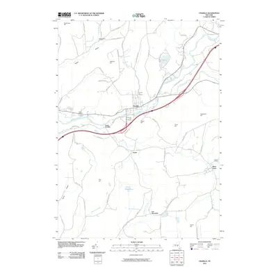
2010 Map of Unadilla
USGS Topo · Published 2010About this map
The Susquehanna River winds through the heart of this landscape, serving as a primary corridor for settlements like Unadilla and South Unadilla. The river valley is flanked by numerous family and community landmarks, including Evergreen Hill Cemetery and Chestnut Hill Cemetery, which offer valuable data points for genealogists researching the residents of Delaware and Otsego Counties. The topography is defined by significant ridges such as Poplar Hill and Crane Hill, with small communities like Youngs and East Masonville tucked into the upland valleys.
Find a feature on this map
67 named features on this map. Tap any name to fly to it.
Don’t see what you’re looking for? This feature index may not catch every label — zoom into the map to look around manually.
Map Details
Editions of this 2010 Unadilla Map
This is the sole edition of this map. No revisions or reprints were ever made.
Other maps of this area

1915 · Oneonta
USGS Topo · 1:62,500

1915 · Unadilla
USGS Topo · 1:62,500

1918 · Unadilla
USGS Topo · 1:62,500

1918 · Oneonta
USGS Topo · 1:62,500

1923 · Walton
USGS Topo · 1:48,000

1924 · Deposit
USGS Topo · 1:62,500

1925 · Walton
USGS Topo · 1:62,500

1926 · Deposit
USGS Topo · 1:62,500

1943 · Sidney
USGS Topo · 1:24,000

1943 · Gilbertsville
USGS Topo · 1:24,000