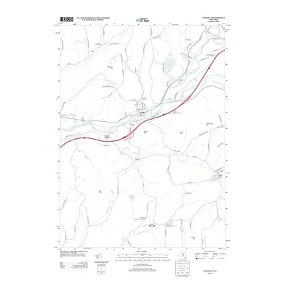
2013 Map of Unadilla
USGS Topo · Published 2013About this map
The Susquehanna River flows through the heart of this landscape, separating the village of Unadilla from its southern counterpart, South Unadilla. This modern survey reveals a community defined by its transport corridors, where the legacy of Railroad St and the river valley is overlaid by the modern routes of Interstate 88 and the Unadilla Westbound Rest Area. Genealogists and local historians can locate several burial grounds across the terrain, including Evergreen Hill Cem overlooking the village and the remote Lower E Masonville Cem to the south.
Find a feature on this map
104 named features on this map. Tap any name to fly to it.
Don’t see what you’re looking for? This feature index may not catch every label — zoom into the map to look around manually.
Map Details
Editions of this 2013 Unadilla Map
This is the sole edition of this map. No revisions or reprints were ever made.
Other maps of this area

1915 · Oneonta
USGS Topo · 1:62,500

1915 · Unadilla
USGS Topo · 1:62,500

1918 · Unadilla
USGS Topo · 1:62,500

1918 · Oneonta
USGS Topo · 1:62,500

1923 · Walton
USGS Topo · 1:48,000

1924 · Deposit
USGS Topo · 1:62,500

1925 · Walton
USGS Topo · 1:62,500

1926 · Deposit
USGS Topo · 1:62,500

1943 · Sidney
USGS Topo · 1:24,000

1943 · Gilbertsville
USGS Topo · 1:24,000