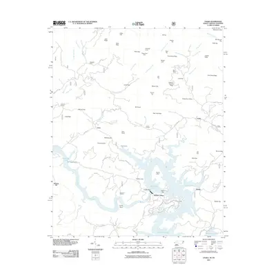
2011 Map of Unaka
USGS Topo · Published 2011About this map
Hiwassee Dam anchors the landscape where the river waters meet the complex ridges of Cherokee County. This early 21st-century survey documents the small settlements and rural infrastructure of the southwestern North Carolina mountains. The map traces the winding paths of the Joe Brown Hwy and Mountain View Rd, connecting isolated communities like Unaka and Violet. Researchers interested in local family history will find numerous burial grounds preserved here, including Morrow Cemetery near Long Ridge and Farrow Cemetery overlooking the Hiwassee. The topography is defined by prominent peaks and gaps such as Beaverdam Bald and Sled Runner Gap, while the Hiwassee Village area shows the modern residential footprint near the reservoir and Apalachia Lake.
Find a feature on this map
103 named features on this map. Tap any name to fly to it.
Don’t see what you’re looking for? This feature index may not catch every label — zoom into the map to look around manually.
Map Details
Editions of this 2011 Unaka Map
This is the sole edition of this map. No revisions or reprints were ever made.
Other maps of this area

1893 · Murphy
USGS Topo · 1:125,000

1914 · Murphy
USGS Topo · 1:125,000

1927 · Big Junction
USGS Topo · 1:24,000

1933 · Haw Knob
USGS Topo · 1:48,000

1933 · Bald River Falls
USGS Topo · 1:24,000

1934 · Murphy
USGS Topo · 1:24,000

1934 · Persimmon Creek
USGS Topo · 1:24,000

1934 · McDaniel Bald
USGS Topo · 1:24,000

1934 · Unaka
USGS Topo · 1:24,000

1934 · Murphy
USGS Topo · 1:48,000