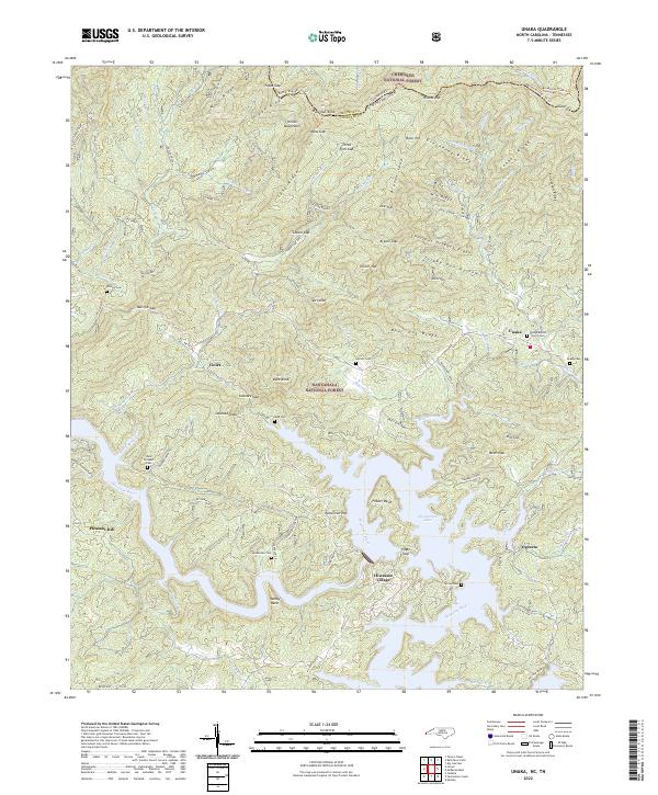
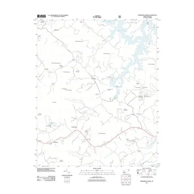
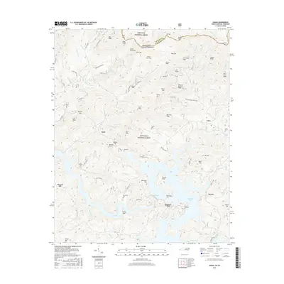
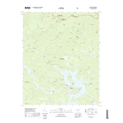
2022 Map of Unaka
USGS Topo · Published 2022About this map
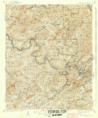
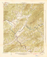
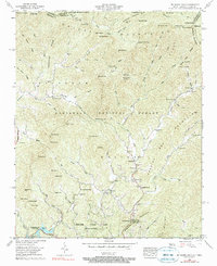
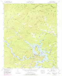
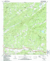
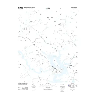
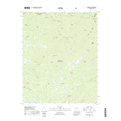
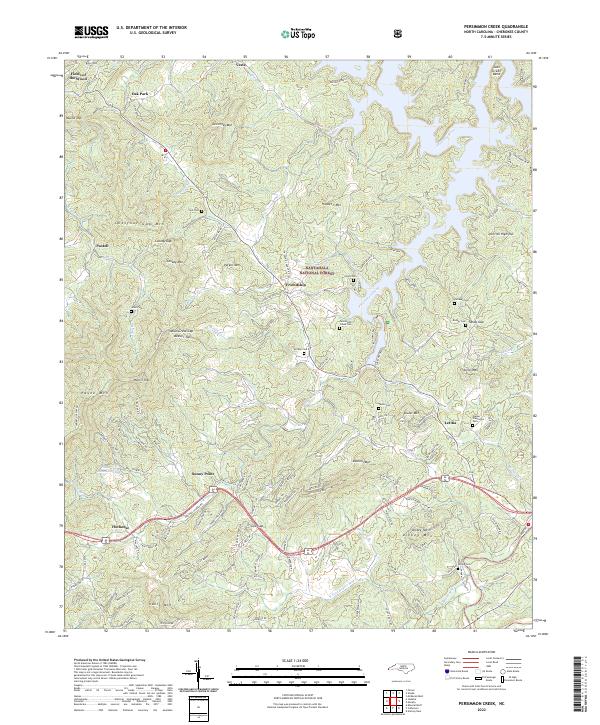
Persimmon Lake and the Hiwassee River define the lower elevations of this borderland, where the Nantahala National Forest meets the Cherokee National Forest at the Tennessee and North Carolina state line. The landscape is marked by a complex network of high ridges, including Wolf Ridge and Bear Hug Ridge, which separate small mountain communities. Genealogical interest is centered on scattered family burying grounds such as Lenderman Cem, Garrett Cem, and Morrow Cem, alongside established local landmarks like the Unaka Baptist Church. The distribution of these features suggests a history of remote settlement following the narrow valleys and creek beds. Small clusters of habitation remain at Violet, Ogreeta, and Hiwassee Village, connected by winding routes like State Rd 1323 that navigate the gaps between the Unicoi Mountains and the river banks.
Find a feature on this map
103 named features on this map. Tap any name to fly to it.
Don’t see what you’re looking for? This feature index may not catch every label — zoom into the map to look around manually.
Map Details
Editions of this 2022 Unaka Map
This is the sole edition of this map. No revisions or reprints were ever made.
Historical Maps of Pleasant Hill Through Time
37 maps found

1934 McDaniel Bald
Cherokee County, NC
1934 Persimmon Creek
Cherokee County, NC

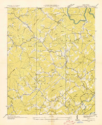
1934 Unaka
Cherokee County, NC
1935 Peachtree
Cherokee County, NC
1937 Peachtree
Cherokee County, NC
1938 Fowler Bend
Cherokee County, NC
1938 Peachtree
Cherokee County, NC
1957 Mc Daniel Bald
Cherokee County, NC

1957 Persimmon Creek
Cherokee County, NC
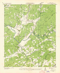
1957 Unaka
Cherokee County, NC

1971 Blacksburg North
Cherokee County, NC
1988 Culberson
Cherokee County, NC
2011 Culberson
Cherokee County, NC
2011 McDaniel Bald
Cherokee County, NC
2011 Peachtree
Cherokee County, NC
2011 Persimmon Creek
Cherokee County, NC
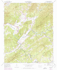
2011 Unaka
Cherokee County, NC
2013 Culberson
Cherokee County, NC
2013 McDaniel Bald
Cherokee County, NC
2013 Peachtree
Cherokee County, NC
2013 Persimmon Creek
Cherokee County, NC
2013 Unaka
Cherokee County, NC
2016 Culberson
Cherokee County, NC
2016 McDaniel Bald
Cherokee County, NC
2016 Peachtree
Cherokee County, NC
2016 Persimmon Creek
Cherokee County, NC
2016 Unaka
Cherokee County, NC
2019 Culberson
Cherokee County, NC
2019 McDaniel Bald
Cherokee County, NC
2019 Peachtree
Cherokee County, NC
2019 Persimmon Creek
Cherokee County, NC
2019 Unaka
Cherokee County, NC
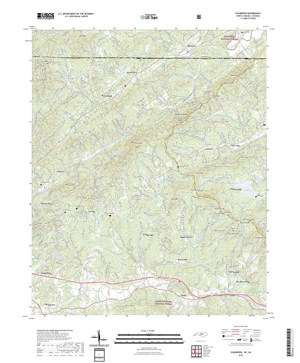
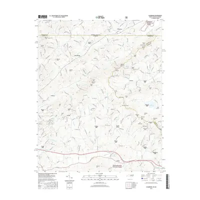
2022 Culberson
Cherokee County, NC
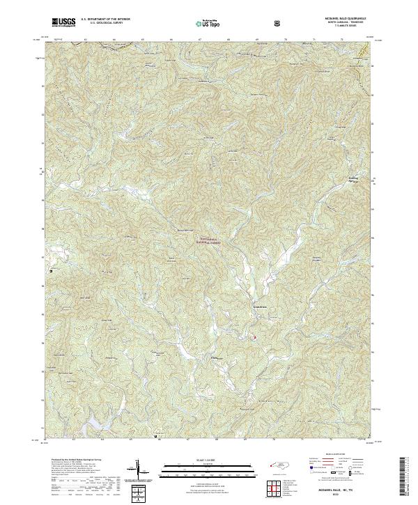
2022 McDaniel Bald
Cherokee County, NC
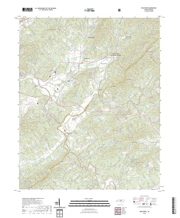
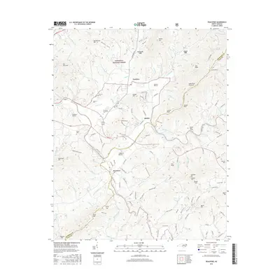
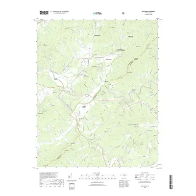
2022 Peachtree
Cherokee County, NC
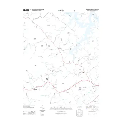
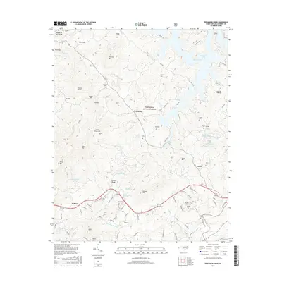
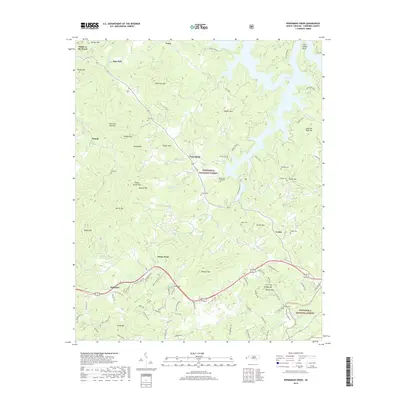
2022 Persimmon Creek
Cherokee County, NC
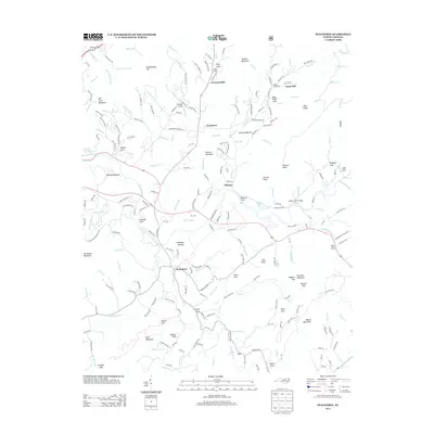
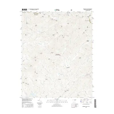
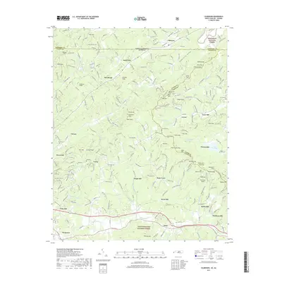
2022 Unaka
Cherokee County, NC