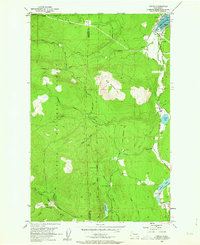
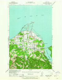
1953 Map of Uncas
USGS Topo · Published 1964About this map
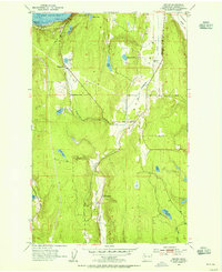
Port Discovery provides a sheltered anchor at the northern edge of this Jefferson County landscape, where the settlements of Maynard and Uncas sit near the tidal mudflats. The interior is defined by the steep timberlands of the Olympic National Forest, punctuated by prominent heights like Big Skidder Hill and Little Skidder Hill. This mid-century survey captures a transition from coastal maritime activity to upland forest management, with a notable Pipe Line and the Olympic Highway serving as primary transit corridors. In the south, the Little Quilcene River winds through the terrain near Lords Lake, while the local education needs are marked by the Uncas Sch. The distribution of numerous benchmarks, such as BM 908 and BM 1227, reflects the detailed topographic work required to map this complex drainage system of Salmon Creek and Snow Creek.
Find a feature on this map
38 named features on this map. Tap any name to fly to it.
Don’t see what you’re looking for? This feature index may not catch every label — zoom into the map to look around manually.
Map Details
Editions of this 1953 Uncas Map
4 editions found
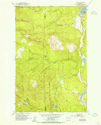
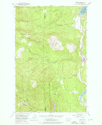
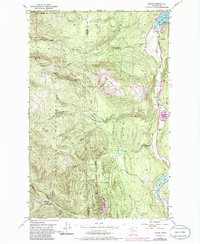
Other maps of this area

1938 · Mt Constance
USGS Topo · 1:125,000
1938 · Dungeness
USGS Topo · 1:62,500

1939 · Port Townsend
USGS Topo · 1:62,500

1939 · Dungeness
USGS Topo · 1:62,500

1940 · Quilcene
USGS Topo · 1:62,500
1946 · Tyler Peak
USGS Topo · 1:62,500

1948 · Tyler Peak
USGS Topo · 1:62,500
1953 · Quilcene
USGS Topo · 1:24,000
1953 · Mt. Walker
USGS Topo · 1:24,000
1953 · Center
USGS Topo · 1:24,000