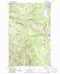
1953 Map of Uncas
USGS Topo · Published 1986About this map
Olympic National Forest dominates the western half of this landscape, where the peaks of Big Skidder Hill and Little Skidder Hill rise above the drainage of Snow Creek and Salmon Creek. Along the eastern edge, the Olympic Highway traces a corridor of settlement through the valleys of the Olympic Peninsula. Small communities like Uncas, Leland, and Maynard are clustered near the shores of Port Discovery and several freshwater bodies including Crocker Lake and Leland Lake. This mid-century view, updated with 1980s data, illustrates the transition from the dense timberlands to the rural homesteads and infrastructure serving the region. The map identifies specific local landmarks such as the Uncas Sch and a Gaging Sta, alongside the Little Quilcene River as it winds toward the south. The rugged topography of Cedar Flat and numerous creek systems like Andrews Creek and Trapper Creek show the complex watershed that defined local development during this era.
Find a feature on this map
24 named features on this map. Tap any name to fly to it.
Don’t see what you’re looking for? This feature index may not catch every label — zoom into the map to look around manually.
Map Details
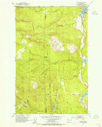
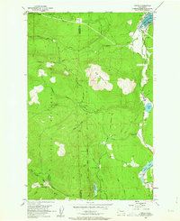
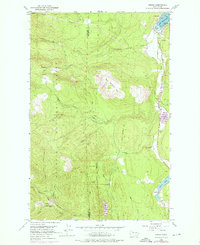
Editions of this 1953 Uncas Map
4 editions found
Other maps of this area

1938 · Mt Constance
USGS Topo · 1:125,000

1938 · Dungeness
USGS Topo · 1:62,500

1939 · Port Townsend
USGS Topo · 1:62,500

1939 · Dungeness
USGS Topo · 1:62,500

1940 · Quilcene
USGS Topo · 1:62,500

1946 · Tyler Peak
USGS Topo · 1:62,500

1948 · Tyler Peak
USGS Topo · 1:62,500

1953 · Quilcene
USGS Topo · 1:24,000

1953 · Mt. Walker
USGS Topo · 1:24,000

1953 · Center
USGS Topo · 1:24,000