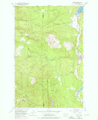
1953 Map of Uncas
USGS Topo · Published 1976About this map
Port Discovery serves as the northern anchor for this landscape, where the waters of the bay meet the coastal settlements of Maynard and Uncas. The 1953 topography, updated with 1973 photorevisions, reveals a transition from these shoreline communities into the dense timberlands of the Olympic National Forest. The Olympic Highway traces the eastern edge of the quadrangle, connecting the local centers near Uncas Sch to the southern freshwater chain of Crocker Lake and Leland Lake.
Find a feature on this map
21 named features on this map. Tap any name to fly to it.
Don’t see what you’re looking for? This feature index may not catch every label — zoom into the map to look around manually.
Map Details
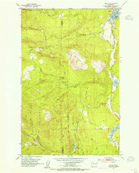
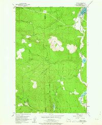
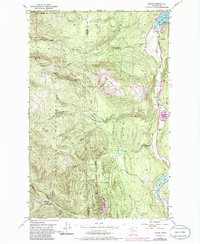
Editions of this 1953 Uncas Map
4 editions found
Other maps of this area

1938 · Mt Constance
USGS Topo · 1:125,000

1938 · Dungeness
USGS Topo · 1:62,500

1939 · Port Townsend
USGS Topo · 1:62,500

1939 · Dungeness
USGS Topo · 1:62,500

1940 · Quilcene
USGS Topo · 1:62,500

1946 · Tyler Peak
USGS Topo · 1:62,500

1948 · Tyler Peak
USGS Topo · 1:62,500

1953 · Quilcene
USGS Topo · 1:24,000

1953 · Mt. Walker
USGS Topo · 1:24,000

1953 · Center
USGS Topo · 1:24,000