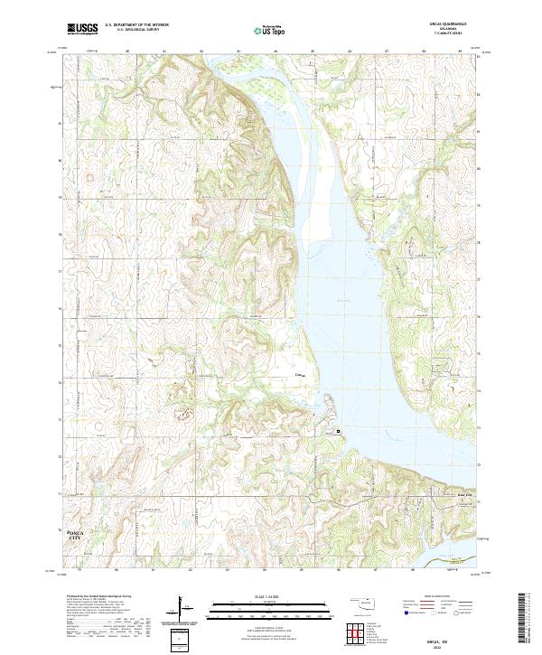
2022 Map of Uncas
USGS Topo · Published 2022About this map
The Arkansas River and the expansive waters of Kaw Lake dominate this northern Oklahoma landscape, where the submerged river valley meets the rolling uplands of Kay County. The settlement of Uncas sits on the western shore, positioned near where the waters of Coon Creek Cove and Possum Creek branch into the interior. To the southeast, the modern footprint of Kaw City is visible near the Kay and Osage county line, illustrating the relocation of communities following the damming of the river.
Find a feature on this map
63 named features on this map. Tap any name to fly to it.
Don’t see what you’re looking for? This feature index may not catch every label — zoom into the map to look around manually.
Map Details
Editions of this 2022 Uncas Map
This is the sole edition of this map. No revisions or reprints were ever made.
Historical Maps of Ponca City Through Time
43 maps found

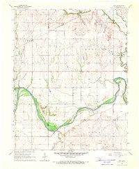
1935 Kaw
Kay County, OK
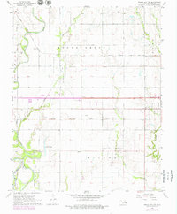
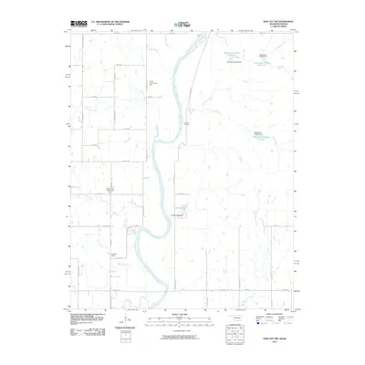
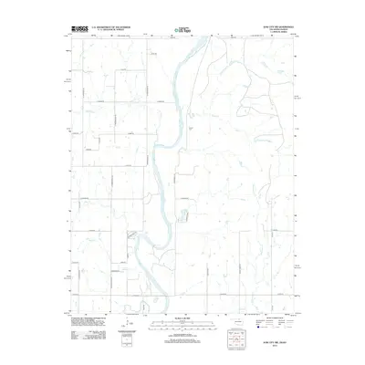
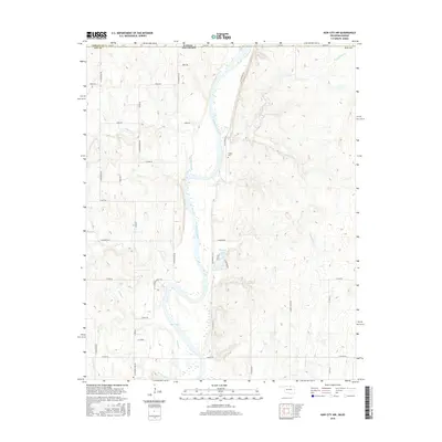
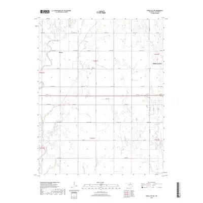
1963 Kaw City NW
Kay County, OK
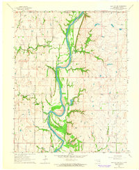
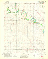
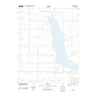
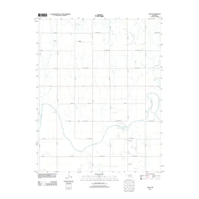
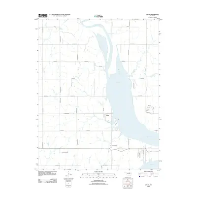
1963 Uncas
Kay County, OK
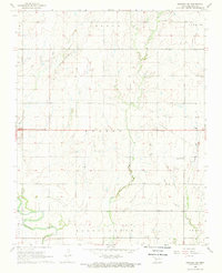
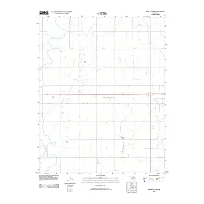
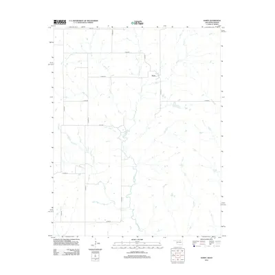
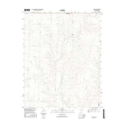
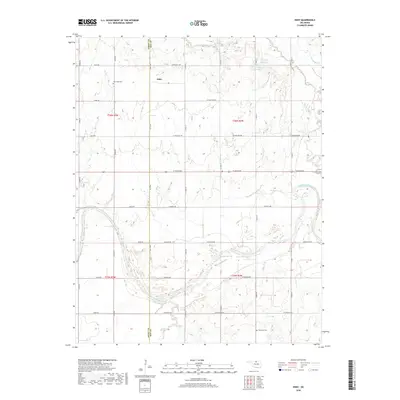
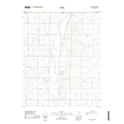
1964 Hardy
Kay County, OK
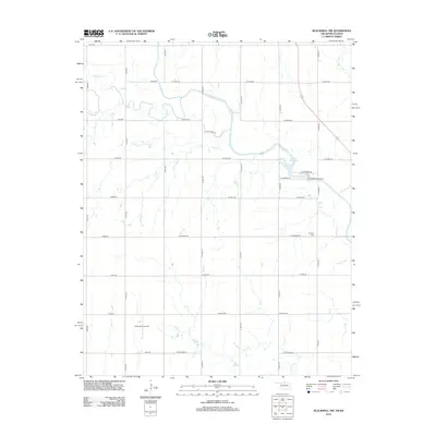
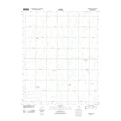
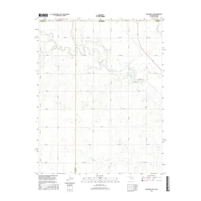
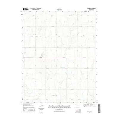
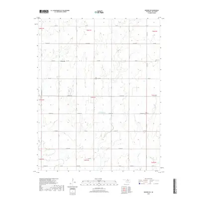
1968 Blackwell NW
Kay County, OK
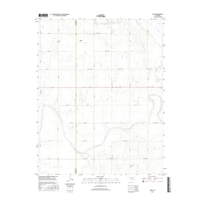
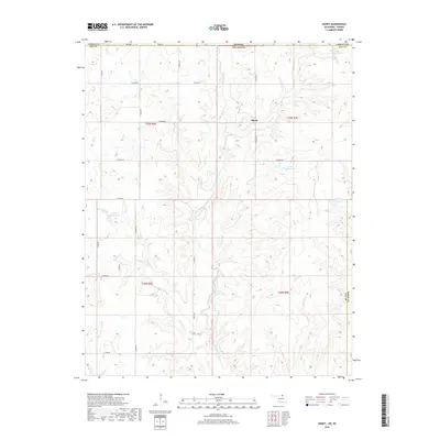
1968 Eddy
Kay County, OK
1968 Newkirk SW
Kay County, OK
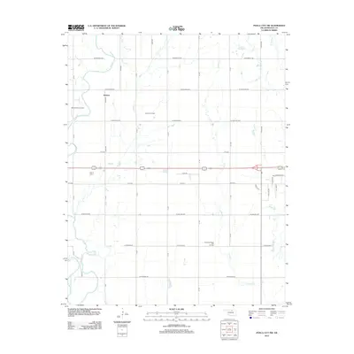
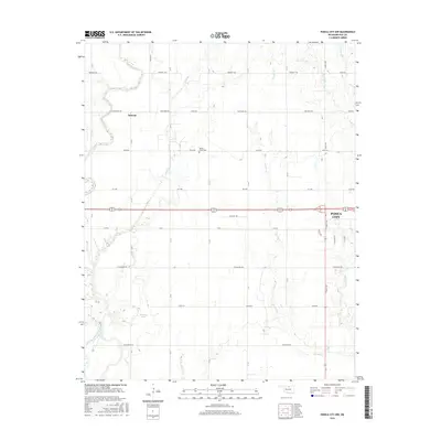
1968 Ponca City NW
Kay County, OK
2009 Eddy
Kay County, OK
2009 Newkirk SW
Kay County, OK
2010 Blackwell NW
Kay County, OK
2010 Hardy
Kay County, OK
2010 Kaw City NW
Kay County, OK
2010 Ponca City NW
Kay County, OK
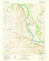
2010 Uncas
Kay County, OK
2012 Blackwell NW
Kay County, OK
2012 Eddy
Kay County, OK
2012 Hardy
Kay County, OK
2012 Kaw City NW
Kay County, OK
2012 Newkirk SW
Kay County, OK
2012 Ponca City NW
Kay County, OK
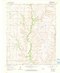
2012 Uncas
Kay County, OK
2016 Blackwell NW
Kay County, OK
2016 Eddy
Kay County, OK
2016 Hardy
Kay County, OK
2016 Kaw City NW
Kay County, OK
2016 Newkirk SW
Kay County, OK
2016 Ponca City NW
Kay County, OK
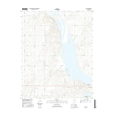
2016 Uncas
Kay County, OK
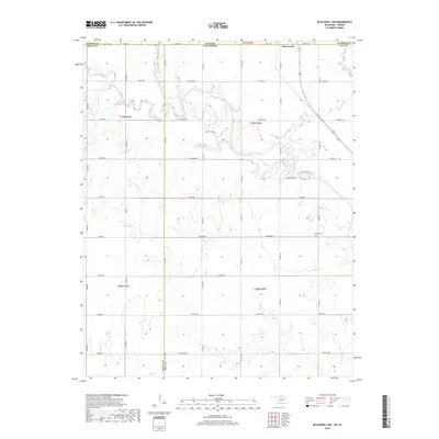
2018 Blackwell NW
Kay County, OK
2018 Eddy
Kay County, OK
2018 Hardy
Kay County, OK
2018 Kaw City NW
Kay County, OK
2018 Newkirk SW
Kay County, OK
2018 Ponca City NW
Kay County, OK
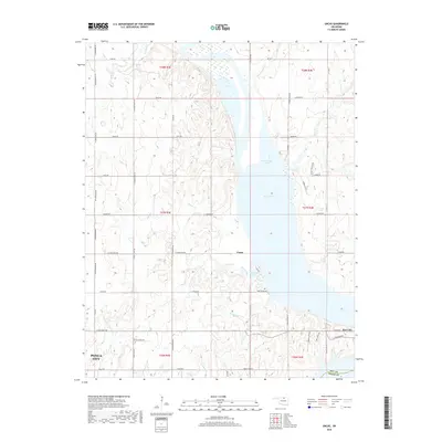
2018 Uncas
Kay County, OK
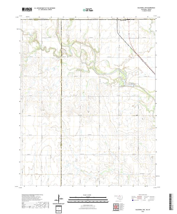
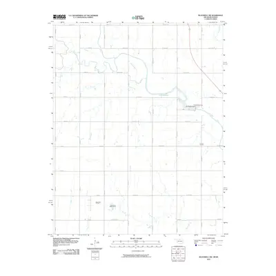
2022 Blackwell NW
Kay County, OK
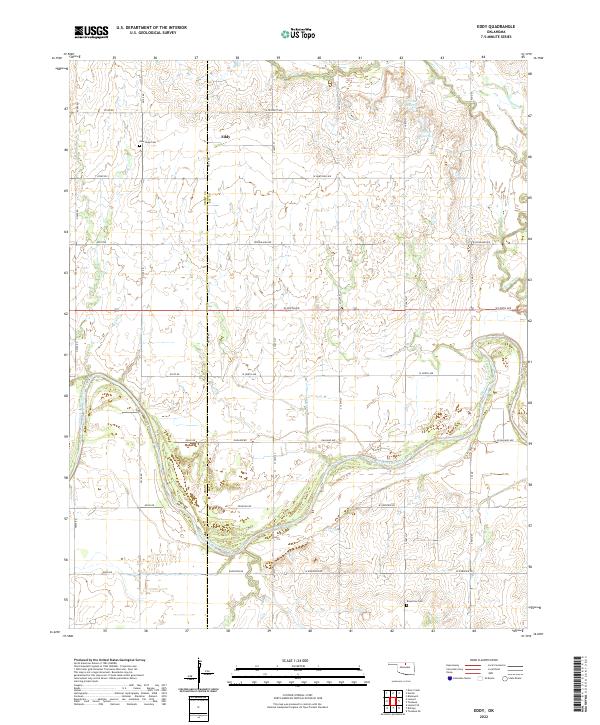
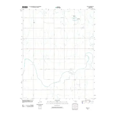
2022 Eddy
Kay County, OK
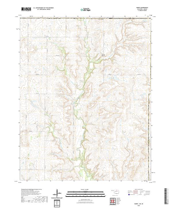
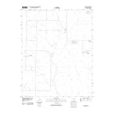
2022 Hardy
Kay County, OK
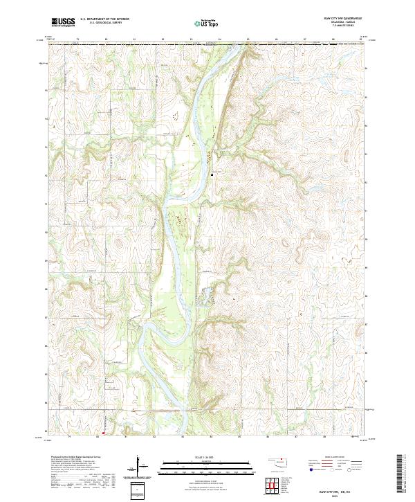
2022 Kaw City NW
Kay County, OK
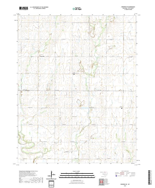
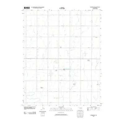
2022 Newkirk SW
Kay County, OK
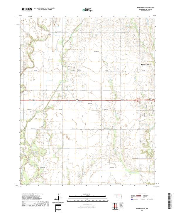
2022 Ponca City NW
Kay County, OK
2022 Uncas
Kay County, OK